


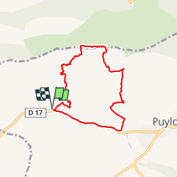


15,8 km | 28 km-effort


Gebruiker


Gratisgps-wandelapplicatie
 SityTrail
IGN / Geografische instituten
SityTrail World
De wereld gaat voor u open
Tocht Stappen van 8 km beschikbaar op Provence-Alpes-Côte d'Azur, Bouches-du-Rhône, Puyloubier. Deze tocht wordt voorgesteld door phidge.
P2 T2 20/02/2014 Robert
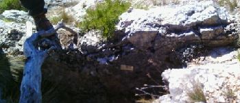
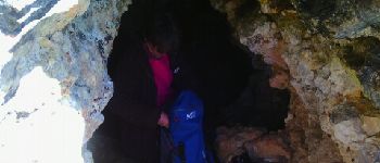
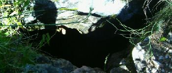
Rando des 6 grottes, les plus belles Grotte du Marin et Grotte de la cloche.
Prévoir lampe frontale


Stappen

Stappen

Stappen

Stappen

Stappen

Stappen

Stappen

Stappen

Stappen