


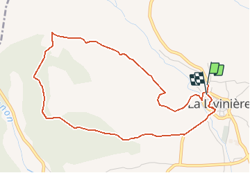

57 km | 70 km-effort


Gebruiker


Gratisgps-wandelapplicatie
 SityTrail
IGN / Geografische instituten
SityTrail World
De wereld gaat voor u open
Tocht Stappen van 5,5 km beschikbaar op Occitanië, Hérault, La Livinière. Deze tocht wordt voorgesteld door Jovila.
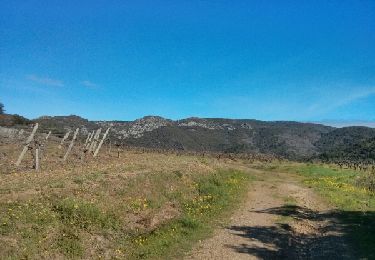
Se garer au parking à la sortie à la du village. Prendre la route goudronnée de suite à droite. Suivre le balisage jaune.
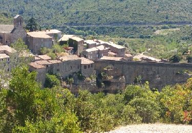
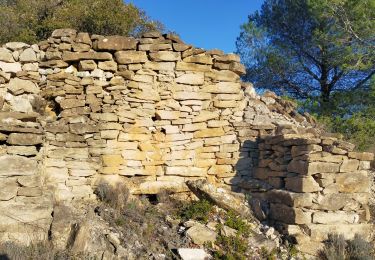
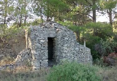
Belle promenade avec de magnifiques murets en pierres sèches et capitelles.
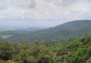
Beaux points de vues.
Fiets

Fiets

Stappen

Stappen
Te voet
Stappen
Stappen
Stappen
Stappen