


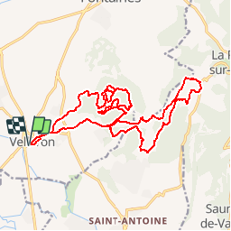

24 km | 25 km-effort


Gebruiker


Gratisgps-wandelapplicatie
 SityTrail
IGN / Geografische instituten
SityTrail World
De wereld gaat voor u open
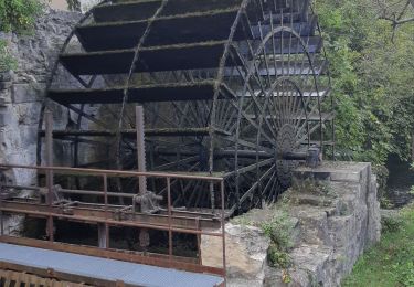
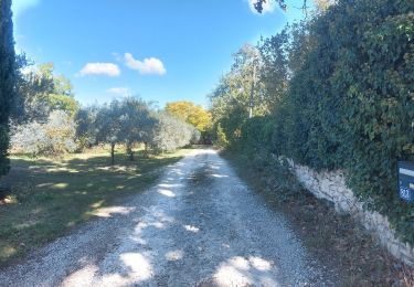
Tocht Mountainbike van 23 km beschikbaar op Provence-Alpes-Côte d'Azur, Vaucluse, Velleron. Deze tocht wordt voorgesteld door slivoide.
Monter zizgue pied gros, passage jusqu ravin du croc remonter jusqu'aux gipières pour descendre par anc platrieres et decharge termine par chemin de la pourraque pour rejoindre canal et retour...
Fiets
Hybride fiets

Stappen

Fiets
Stappen
Stappen

Stappen
Stappen
Stappen