

vf roqueprins

patetl
Gebruiker

Lengte
1,5 km

Max. hoogte
922 m

Positief hoogteverschil
116 m

Km-Effort
2,9 km

Min. hoogte
791 m

Negatief hoogteverschil
92 m
Boucle
Neen
Datum van aanmaak :
2020-08-08 16:32:13.342
Laatste wijziging :
2020-08-08 18:23:38.067
24m
Moeilijkheid : Moeilijk

Gratisgps-wandelapplicatie
Over ons
Tocht Via ferrata van 1,5 km beschikbaar op Occitanië, Lozère, La Canourgue. Deze tocht wordt voorgesteld door patetl.
Beschrijving
vf sans chemin d accès directement au pied de la voiture. mais longue piste pour accéder au parking de départ al ' antenne relais. belle tyrolienne et filet.
Plaatsbepaling
Land:
France
Regio :
Occitanië
Departement/Provincie :
Lozère
Gemeente :
La Canourgue
Locatie:
La Canourgue
Vertrek:(Dec)
Vertrek:(UTM)
516673 ; 4918873 (31T) N.
Opmerkingen
Wandeltochten in de omgeving

48 La Canourgue Banassac Les grès rouges


Noords wandelen
Gemakkelijk
(1)
Banassac-Canilhac,
Occitanië,
Lozère,
France

12,5 km | 17,7 km-effort
2h 30min
Ja
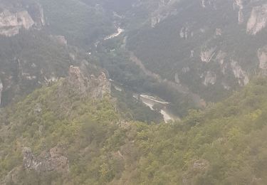
la canourgue les vignes


Stappen
Moeilijk
La Canourgue,
Occitanië,
Lozère,
France

25 km | 37 km-effort
7h 37min
Neen

Dessus la canourgue


Stappen
Moeilijk
La Canourgue,
Occitanië,
Lozère,
France

9,1 km | 14,4 km-effort
3h 48min
Neen
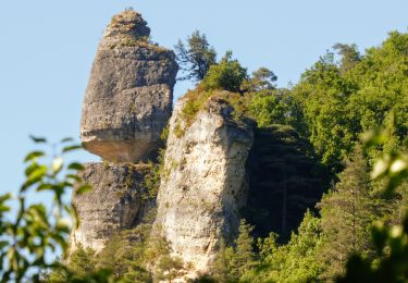
Au-dessus de La Canourgue


Stappen
Medium
La Canourgue,
Occitanië,
Lozère,
France

12,7 km | 18,5 km-effort
3h 9min
Ja
Vers l'antenne de La Canourgue


Stappen
Gemakkelijk
Saint-Saturnin,
Occitanië,
Lozère,
France

6,9 km | 8,8 km-effort
1h 42min
Ja
GR60 jour 7


Stappen
Moeilijk
Banassac-Canilhac,
Occitanië,
Lozère,
France

22 km | 29 km-effort
9h 43min
Neen

Atlamed - La Canourgue - Les Vignes


Andere activiteiten
Heel gemakkelijk
La Canourgue,
Occitanië,
Lozère,
France

27 km | 38 km-effort
6h 30min
Neen
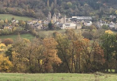
le chemin des falaises


Andere activiteiten
Gemakkelijk
La Canourgue,
Occitanië,
Lozère,
France

12,1 km | 16,4 km-effort
2h 55min
Ja
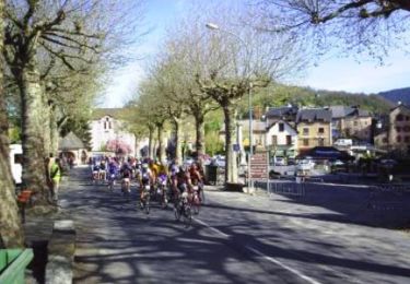
La Lozérienne édition 2009 - 47 km


Fiets
Moeilijk
La Canourgue,
Occitanië,
Lozère,
France

47 km | 59 km-effort
2h 30min
Ja


 SityTrail


