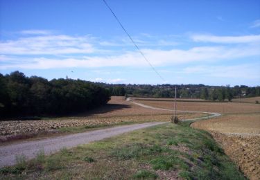
22 km | 25 km-effort
Vacquiers vtt
jpferrage
Gebruiker
Lengte
26 km
Max. hoogte
233 m
Positief hoogteverschil
346 m
Km-Effort
30 km
Min. hoogte
145 m
Negatief hoogteverschil
347 m
Boucle
Ja
Datum van aanmaak :
2020-08-07 07:36:32.0
Laatste wijziging :
2020-08-07 09:29:21.766
1h51
Moeilijkheid : Onbekend
Gratisgps-wandelapplicatie
Over ons
Tocht Mountainbike van 26 km beschikbaar op Occitanië, Haute-Garonne, Bouloc. Deze tocht wordt voorgesteld door jpferrage.
Plaatsbepaling
Land:
France
Regio :
Occitanië
Departement/Provincie :
Haute-Garonne
Gemeente :
Bouloc
Locatie:
Unknown
Vertrek:(Dec)
Vertrek:(UTM)
370783 ; 4848286 (31T) N.
Opmerkingen
Wandeltochten in de omgeving
Randonnée VTT entre vignes et bois de Bouloc à Fronton
Mountainbike
Medium
Bouloc,
Occitanië,
Haute-Garonne,
France
2h 0min
Ja
Villeneuve les Bouloc Vacquiers
Lopen
Moeilijk
Villeneuve-lès-Bouloc,
Occitanië,
Haute-Garonne,
France
16,6 km | 19,4 km-effort
1h 30min
Ja
Villeneuve les Bouloc Vacquiers
Stappen
Medium
Villeneuve-lès-Bouloc,
Occitanië,
Haute-Garonne,
France
16,6 km | 19,4 km-effort
3h 10min
Ja
Randonnée de Bouloc à Castelnau d'Estretefonds
Lopen
Moeilijk
Bouloc,
Occitanië,
Haute-Garonne,
France
19,9 km | 23 km-effort
2h 0min
Ja
Cepet Villaries
Lopen
Moeilijk
Cépet,
Occitanië,
Haute-Garonne,
France
14,9 km | 16,8 km-effort
1h 30min
Ja
Cepet Villaries
Stappen
Medium
Cépet,
Occitanië,
Haute-Garonne,
France
14,9 km | 16,8 km-effort
4h 0min
Ja
SityTrail - Randonnée de Bouloc à Castelnau d'Estretefonds
Te voet
Heel gemakkelijk
Bouloc,
Occitanië,
Haute-Garonne,
France
19,9 km | 23 km-effort
5h 0min
Ja
Dénivelé fort castelnau
Mountainbike
Bouloc,
Occitanië,
Haute-Garonne,
France
21 km | 26 km-effort
2h 3min
Neen
31_ViIlleneuve les Bouloc
Stappen
Gemakkelijk
Villeneuve-lès-Bouloc,
Occitanië,
Haute-Garonne,
France
9,5 km | 11,1 km-effort
2h 15min
Ja