

DEPUIS LE CAMPING DU GALIER

walrou63
Gebruiker

Lengte
13,1 km

Max. hoogte
1042 m

Positief hoogteverschil
306 m

Km-Effort
17,2 km

Min. hoogte
919 m

Negatief hoogteverschil
306 m
Boucle
Ja
Datum van aanmaak :
2020-07-31 06:12:35.359
Laatste wijziging :
2020-08-08 12:58:00.104
2h55
Moeilijkheid : Medium

Gratisgps-wandelapplicatie
Over ons
Tocht Stappen van 13,1 km beschikbaar op Occitanië, Lozère, Fontans. Deze tocht wordt voorgesteld door walrou63.
Beschrijving
Départ du camping Le Galier, pour rejoindre le GR65 jusqu'aux ESTREES puis retour en boucle en suivant la Truyère et reprendre le GR65 à l'envers pour rejoindre le camping.
Plaatsbepaling
Land:
France
Regio :
Occitanië
Departement/Provincie :
Lozère
Gemeente :
Fontans
Locatie:
Unknown
Vertrek:(Dec)
Vertrek:(UTM)
529421 ; 4957999 (31T) N.
Opmerkingen
Wandeltochten in de omgeving
Les Estrets - Les 4 Chemins - Chemin de Compostelle


Stappen
Zeer moeilijk
(1)
Fontans,
Occitanië,
Lozère,
France

18,6 km | 24 km-effort
4h 40min
Neen
DONNEPEAU


Stappen
Gemakkelijk
Saint-Alban-sur-Limagnole,
Occitanië,
Lozère,
France

4,6 km | 6,5 km-effort
1h 24min
Ja

LA LIMAGNOLE


Stappen
Medium
Saint-Alban-sur-Limagnole,
Occitanië,
Lozère,
France

9,2 km | 13,4 km-effort
2h 57min
Ja

Étape 4


Stappen
Medium
Saint-Alban-sur-Limagnole,
Occitanië,
Lozère,
France

22 km | 28 km-effort
5h 29min
Neen
Étape 4


Stappen
Medium
Saint-Alban-sur-Limagnole,
Occitanië,
Lozère,
France

22 km | 28 km-effort
5h 29min
Neen
Les Faux - Aumont-Aubrac


Stappen
Medium
Saint-Alban-sur-Limagnole,
Occitanië,
Lozère,
France

22 km | 28 km-effort
5h 57min
Neen
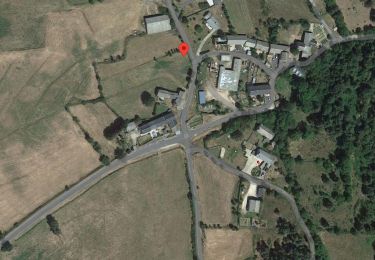
La Cascade du Franquet lundi


Stappen
Gemakkelijk
Saint-Alban-sur-Limagnole,
Occitanië,
Lozère,
France

3,3 km | 5,6 km-effort
1h 16min
Ja
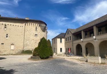
Fait GTMC 2022 E1 2,5 b


Mountainbike
Medium
Rimeize,
Occitanië,
Lozère,
France

45 km | 58 km-effort
6h 16min
Neen
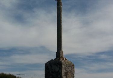
les faux à au mont sur aubrac


Stappen
Medium
Saint-Alban-sur-Limagnole,
Occitanië,
Lozère,
France

24 km | 30 km-effort
5h 11min
Neen


 SityTrail


