14,4 km | 22 km-effort
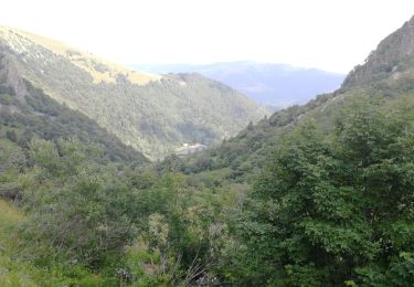
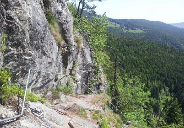
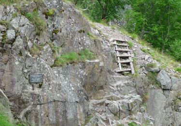
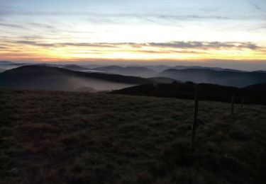
Gaschney-Hohneck-Trois Fours-Frankenthal-retour
boursonphilippe
Gebruiker
Lengte
13,8 km
Max. hoogte
1351 m
Positief hoogteverschil
573 m
Km-Effort
21 km
Min. hoogte
945 m
Negatief hoogteverschil
575 m
Boucle
Ja
Datum van aanmaak :
2020-07-30 08:05:24.172
Laatste wijziging :
2020-07-31 17:08:39.328
5h26
Moeilijkheid : Moeilijk
Gratisgps-wandelapplicatie
Over ons
Tocht Stappen van 13,8 km beschikbaar op Grand Est, Haut-Rhin, Stosswihr. Deze tocht wordt voorgesteld door boursonphilippe.
Plaatsbepaling
Land:
France
Regio :
Grand Est
Departement/Provincie :
Haut-Rhin
Gemeente :
Stosswihr
Locatie:
Unknown
Vertrek:(Dec)
Vertrek:(UTM)
354402 ; 5321966 (32U) N.
Opmerkingen
Wandeltochten in de omgeving
Les Rochers des Hirschsteine - Lac Vert
Stappen
Moeilijk
(2)
Le Valtin,
Grand Est,
Vogezen,
France
5h 2min
Ja
Kastelberg des pierres, des lacs, des panoramas magnifiques
Stappen
Moeilijk
(1)
La Bresse,
Grand Est,
Vogezen,
France
15,1 km | 26 km-effort
6h 11min
Ja
Col de la Schlucht
Stappen
Heel gemakkelijk
(1)
Le Valtin,
Grand Est,
Vogezen,
France
3,5 km | 5,2 km-effort
1h 17min
Ja
Le Sentier des Roches
Stappen
Moeilijk
(2)
Le Valtin,
Grand Est,
Vogezen,
France
20 km | 34 km-effort
7h 43min
Ja
Tour du belvedere avec le passage sur les crêtes
Stappen
Heel gemakkelijk
(3)
Stosswihr,
Grand Est,
Haut-Rhin,
France
8,5 km | 0 m-effort
2h 28min
Ja
Les Hirschsteine
Stappen
Moeilijk
(1)
Le Valtin,
Grand Est,
Vogezen,
France
16,1 km | 25 km-effort
6h 28min
Ja
Du Hohneck au Kastelberg par les Spietzkoepfe et le Sentier des Névées
Stappen
Zeer moeilijk
(3)
La Bresse,
Grand Est,
Vogezen,
France
7,6 km | 13,7 km-effort
3h 30min
Ja
Rainkopf - Mittlach - Hohneck
Stappen
Moeilijk
(1)
La Bresse,
Grand Est,
Vogezen,
France
22 km | 41 km-effort
8h 0min
Ja
Tour du Gaschney par le Sattel
Mountainbike
Moeilijk
(1)
Metzeral,
Grand Est,
Haut-Rhin,
France
25 km | 37 km-effort
2h 32min
Ja