


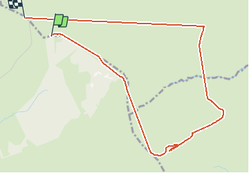

18,4 km | 24 km-effort


Gebruiker


Gratisgps-wandelapplicatie
 SityTrail
IGN / Geografische instituten
SityTrail World
De wereld gaat voor u open
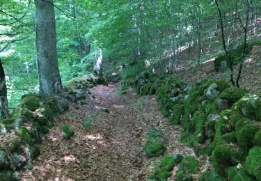
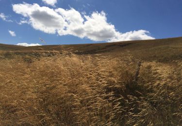
Tocht Stappen van 5,5 km beschikbaar op Occitanië, Aveyron, Saint Geniez d'Olt et d'Aubrac. Deze tocht wordt voorgesteld door mimi.rozes.
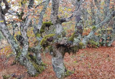
Marche jusqu au signal de Mailhebiau en suivant la boucle sur l IGN car très mal flèche sinon. Entorse en cours de route...

Stappen
Stappen
Stappen
Stappen
Stappen
Noords wandelen
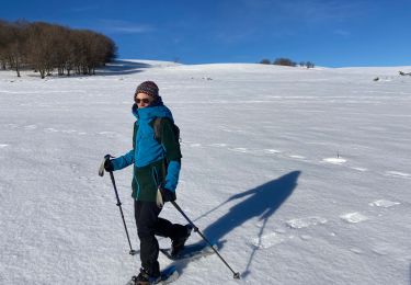
Sneeuwschoenen
Stappen
Stappen