


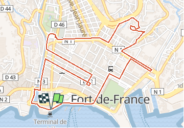

6,5 km | 9,6 km-effort


Gebruiker GUIDE


Gratisgps-wandelapplicatie
 SityTrail
IGN / Geografische instituten
SityTrail World
De wereld gaat voor u open
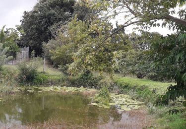
Tocht Te voet van 5 km beschikbaar op Martinique, Onbekend, Fort-de-France. Deze tocht wordt voorgesteld door Lamartiniere.
Rando dans la ville de Fort-de-France, avec départ et arrivée près la Tour Lumina Sophie. Passage près de la plupart des édifices de la ville et commentaires.
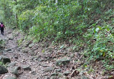
Stappen
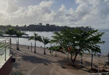
Stappen
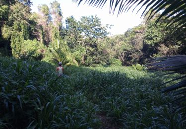
Stappen
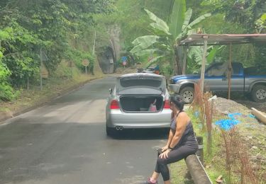
Stappen
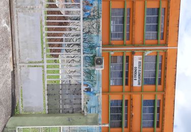
Stappen
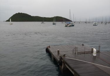
Motorboot
Lopen
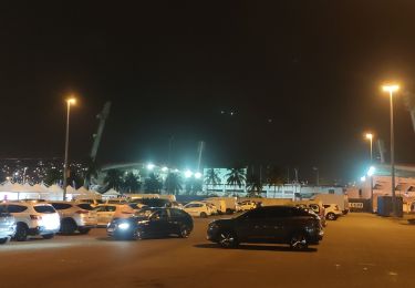
Stappen
Stappen