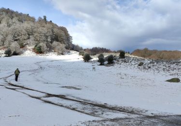
10,2 km | 20 km-effort
Neouvielle-J1
pierre45
Gebruiker
Lengte
11,3 km
Max. hoogte
2663 m
Positief hoogteverschil
1258 m
Km-Effort
25 km
Min. hoogte
1423 m
Negatief hoogteverschil
437 m
Boucle
Neen
Datum van aanmaak :
2020-07-27 13:27:36.06
Laatste wijziging :
2020-07-27 13:28:41.387
6h00
Moeilijkheid : Moeilijk
Gratisgps-wandelapplicatie
Over ons
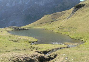
Tocht Te voet van 11,3 km beschikbaar op Occitanië, Hautes-Pyrénées, Bagnères-de-Bigorre. Deze tocht wordt voorgesteld door pierre45.
Plaatsbepaling
Land:
France
Regio :
Occitanië
Departement/Provincie :
Hautes-Pyrénées
Gemeente :
Bagnères-de-Bigorre
Locatie:
Unknown
Vertrek:(Dec)
Vertrek:(UTM)
272229 ; 4755365 (31T) N.
Opmerkingen
Wandeltochten in de omgeving
Vallée de la Gaoube
Stappen
Medium
(1)
Ancizan,
Occitanië,
Hautes-Pyrénées,
France
6,6 km | 9,1 km-effort
4h 49min
Ja
La soula de Tournes
Stappen
Gemakkelijk
(1)
Campan,
Occitanië,
Hautes-Pyrénées,
France
7,7 km | 11,3 km-effort
2h 21min
Ja
SityTrail - 2444920 - artigues-la-mongie-g3-lpc-corrigex
Te voet
Heel gemakkelijk
(1)
Campan,
Occitanië,
Hautes-Pyrénées,
France
7,8 km | 15,7 km-effort
Onbekend
Ja
artigues à payolle
Stappen
Heel gemakkelijk
Campan,
Occitanië,
Hautes-Pyrénées,
France
15,1 km | 19,8 km-effort
6h 10min
Neen
Pic Midi Bigorres
Stappen
Moeilijk
(1)
Campan,
Occitanië,
Hautes-Pyrénées,
France
9,2 km | 25 km-effort
4h 30min
Neen
Lac de Gréziolles
Stappen
Medium
Bagnères-de-Bigorre,
Occitanië,
Hautes-Pyrénées,
France
10,8 km | 21 km-effort
4h 1min
Ja
G2 articles lac de grezillard
Stappen
Zeer moeilijk
Bagnères-de-Bigorre,
Occitanië,
Hautes-Pyrénées,
France
10,4 km | 20 km-effort
7h 18min
Ja
CAMPAN/PAYOLLE le sarrouat les huîtres et les Esclozes "3885552"
Stappen
Medium
Ancizan,
Occitanië,
Hautes-Pyrénées,
France
8 km | 11,1 km-effort
2h 31min
Ja