


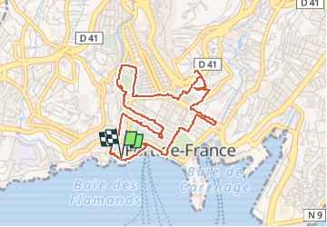


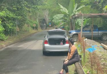
6,5 km | 9,6 km-effort

Gebruiker GUIDE


Gratisgps-wandelapplicatie
 SityTrail
IGN / Geografische instituten
SityTrail World
De wereld gaat voor u open
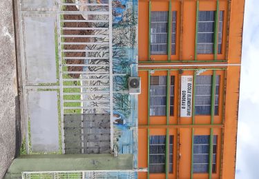
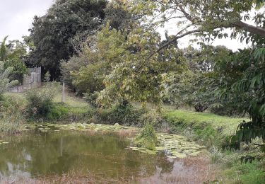
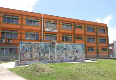
Tocht Stappen van 6,8 km beschikbaar op Martinique, Onbekend, Fort-de-France. Deze tocht wordt voorgesteld door Lamartiniere.
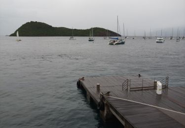
Bien avant le Covid, cette randonnée avec explications des secteurs, bâtiments, statues et autres... rencontrés, avait été envisagée pour Groupama. Je garde sous le coude au cas où.


48 fotos in totaal. Klik op een foto om ze allemaal in de galerij weer te geven.
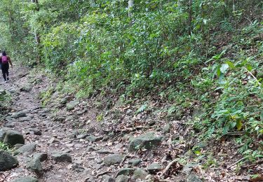
Stappen
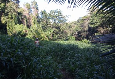
Stappen
Stappen
Stappen
Motorboot
Lopen
Stappen
Stappen

Te voet
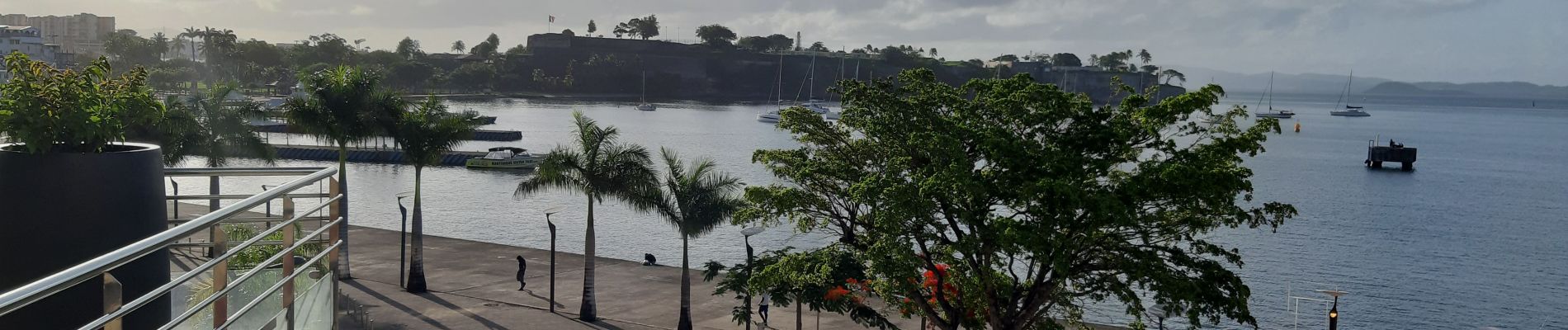
Promenade à éviter le dimanche car tous les magasins sont fermés. Très Bien