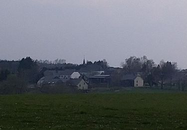
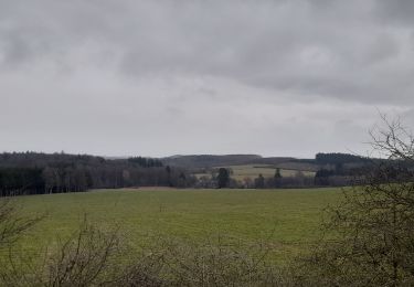
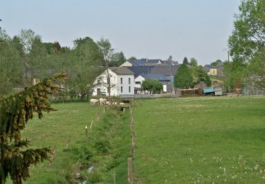
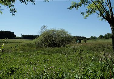
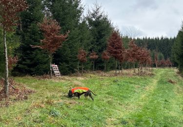
Tocht Mountainbike Vaux-sur-Sûre - gaz - Photo
 10tch
10tch

Gebruiker

© OpenStreetMap contributors
Lengte
Lengte
36 km
Max. hoogte
Max. hoogte
511 m
Positief hoogteverschil
725 m
Km-Effort
Km-Effort  
45 km
Min. hoogte
Min. hoogte
396 m
Negatief hoogteverschil
735 m
Boucle
Boucle
Ja
Datum van aanmaak :
2020-07-26 09:11:48.391
Laatste wijziging :
2020-07-26 10:24:12.778

(0 Bericht)

Mountainbike
Mountainbike
1h12
Moeilijkheid : Heel gemakkelijk

Scan deze QR-code om de tocht te openen in de SityTrail-applicatie

Gratisgps-wandelapplicatie

Logo SityTrail SityTrail

IGN / Geografische instituten

SityTrail uit de App Store downloaden SityTrail uit Google Play downloaden

Logo SityTrail SityTrail World

De wereld gaat voor u open

SityTrail uit de App Store downloaden SityTrail uit Google Play downloaden SityTrail op Huawei AppGallery downloaden

Over ons

Tocht Mountainbike van 36 km beschikbaar op Wallonië, Luxemburg, Vaux-sur-Sûre. Deze tocht wordt voorgesteld door 10tch.

Hoogteprofiel

Plaatsbepaling

Land:
Belgium
Regio :
Wallonië
Departement/Provincie :
Luxemburg
Gemeente :
Vaux-sur-Sûre
Locatie:
Juseret
Vertrek:(UTM)
684361 ; 5528355 (31U) N.

Wandeltochten in de omgeving

Tocht Stappen Léglise - Traimont Narcimont Variante - Photo
Stappen
alfreson

Stappen

Gemakkelijk
(1)
Léglise, Wallonië, Luxemburg, Belgium
17,9 km | 23 km-effort
3h 5min
Ja
Tocht Stappen Léglise - Ebly - Vaux-lez-Chêne - Photo
Stappen
Aernos

Stappen

Gemakkelijk
(1)
Léglise, Wallonië, Luxemburg, Belgium
3 km | 3,9 km-effort
45min
Ja
Tocht Stappen Neufchâteau - Marche ADEPS 8K500?? à (Namoussart) Neufchateau - Photo
Stappen
GUIDE
Bernard Gillet

Stappen

Gemakkelijk
Neufchâteau, Wallonië, Luxemburg, Belgium
8,5 km | 10,4 km-effort
1h 43min
Ja
Tocht Te voet Vaux-sur-Sûre - Promenade des Sources - Photo
Te voet
GUIDE+

Te voet

Gemakkelijk
Vaux-sur-Sûre, Wallonië, Luxemburg, Belgium
8 km | 9,8 km-effort
2h 14min
Ja
Tocht Fiets Vaux-sur-Sûre - cyclo legendes 3 - Photo
Fiets
GANET

Fiets

Medium
(1)
Vaux-sur-Sûre, Wallonië, Luxemburg, Belgium
51 km | 62 km-effort
3h 28min
Ja
Tocht Stappen Vaux-sur-Sûre - Bercheux. Natura 2000, des sites qui valent le détour. Lx9 - Photo
Stappen
GUIDE+

Stappen

Gemakkelijk
(1)
Vaux-sur-Sûre, Wallonië, Luxemburg, Belgium
10,5 km | 12,6 km-effort
2h 45min
Ja
Tocht Stappen Léglise - Bombois - Photo
Stappen
alfreson

Stappen

Medium
Léglise, Wallonië, Luxemburg, Belgium
8,9 km | 11,2 km-effort
2h 33min
Ja
Tocht Te voet Vaux-sur-Sûre - Promenade des Hirondelles - Photo
Te voet
GUIDE+

Te voet

Gemakkelijk
Vaux-sur-Sûre, Wallonië, Luxemburg, Belgium
6,8 km | 8,6 km-effort
1h 57min
Ja
Tocht Te voet Léglise - Promenade du Héron - Photo
Te voet
GUIDE+

Te voet

Gemakkelijk
Léglise, Wallonië, Luxemburg, Belgium
14,6 km | 18 km-effort
4h 4min
Ja


Sluiten
Mijn abonnementen