


14,5 km | 26 km-effort


Gebruiker


Gratisgps-wandelapplicatie
 SityTrail
IGN / Geografische instituten
SityTrail World
De wereld gaat voor u open
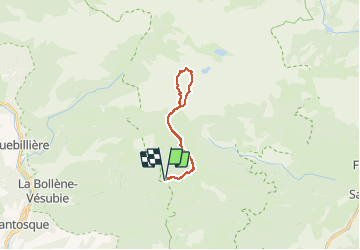
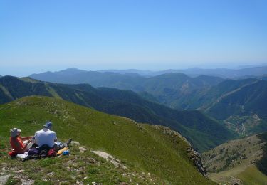
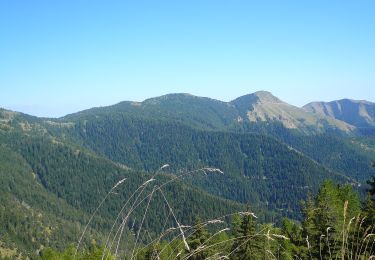
Tocht Stappen van 19,6 km beschikbaar op Provence-Alpes-Côte d'Azur, Alpes-Maritimes, Moulinet. Deze tocht wordt voorgesteld door AntoineBM.
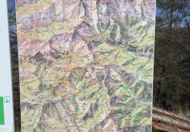
Topo de la rando jusqu'à la cime du Diable : https://randoxygene.departement06.fr/haute-vesubie/cime-du-diable-9209.html
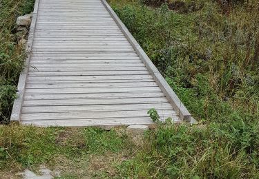
Pour éviter de revenir par le même chemin, l'itinéraire proposé diffère du topo en passant par le sentier qui longe le Mont Capelet Supérieur.
Le temps indiqué (6h15 de marche avec les pauses) suppose un rythme de marche assez soutenu.


Te voet

Te voet

Te voet
Te voet
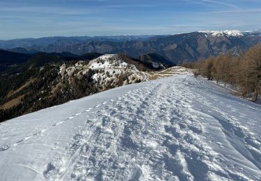
Sneeuwschoenen
Stappen

Stappen
Stappen
Stappen