


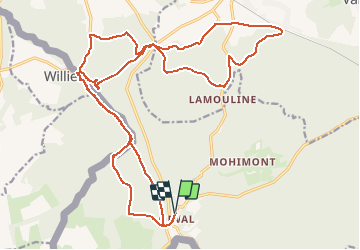

5,9 km | 7,1 km-effort


Gebruiker


Gratisgps-wandelapplicatie
 SityTrail
IGN / Geografische instituten
SityTrail World
De wereld gaat voor u open
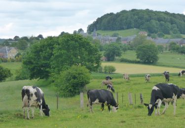
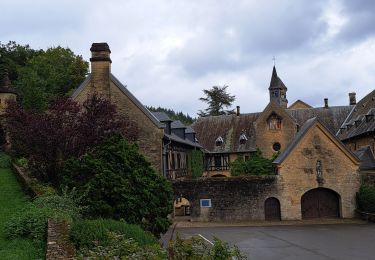
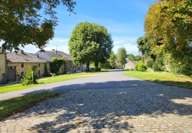
Tocht Mountainbike van 26 km beschikbaar op Wallonië, Luxemburg, Florenville. Deze tocht wordt voorgesteld door beautrix.
Très belle randonnée, avec de belles descentes. Les côtes les plus difficiles et les plus longues sont sur des chemins très faciles (à condition de faire la randonnée dans le sens proposé).
Stappen
Stappen
Stappen

Stappen

Te voet
Stappen
Stappen
Stappen