


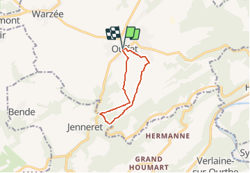

13,9 km | 18,2 km-effort


Gebruiker


Gratisgps-wandelapplicatie
 SityTrail
IGN / Geografische instituten
SityTrail World
De wereld gaat voor u open
Tocht Stappen van 7,6 km beschikbaar op Wallonië, Luik, Ouffet. Deze tocht wordt voorgesteld door jmltp14.
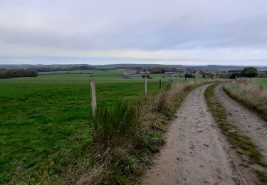
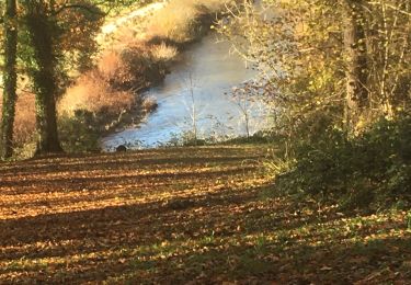
Très beaux paysages du Condroz et de la vallée du Néblon
Attention à la circulation automobile et surtout motocycliste dans la portion empruntant la N623

Stappen

Stappen

Te voet

Stappen


Stappen
Stappen

Stappen