


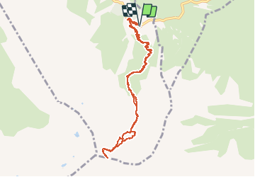

6,7 km | 12,3 km-effort

Gebruiker


Gratisgps-wandelapplicatie
 SityTrail
IGN / Geografische instituten
SityTrail World
De wereld gaat voor u open
Tocht Stappen van 11 km beschikbaar op Nieuw-Aquitanië, Pyrénées-Atlantiques, Béost. Deze tocht wordt voorgesteld door pffrench.
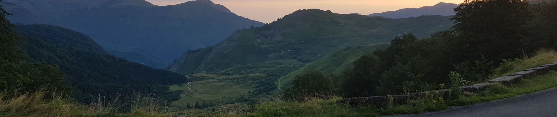
Sans problème technique particulier, mais nous avons fait une partie de la montée dans des éboulis pénibles en nous perdant. Suivre le chemin que nous avons emprunté pour la descente, plus confortable. Randonnée endurante, montée abrupte (Ascension 1155 m sur 5,4 km) , se méfier des orages.
Trajet utilisé pour monter sur le grand Gabizos, à partir du col,


Te voet

Stappen

Lopen


sport

Te voet

Te voet

Stappen
Stappen

Stappen