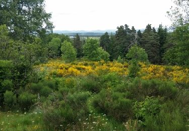
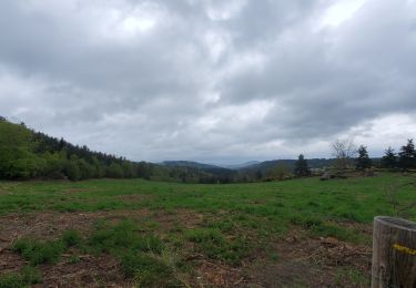
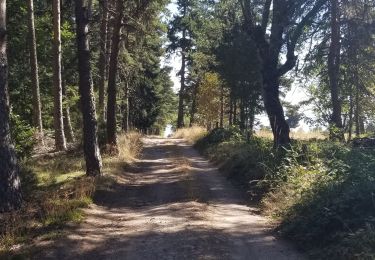
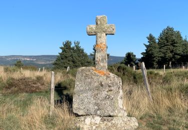
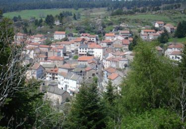
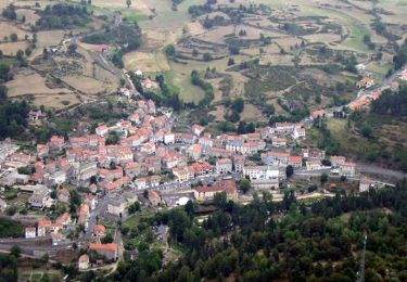
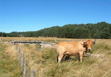
Tocht Paardrijden Saint-Jean-la-Fouillouse - Etoile 27 km : Le Cellier - Gely - Photo

Etoile 27 km : Le Cellier - Gely

 Lozère Cheval
Lozère Cheval

Gebruiker

© OpenStreetMap contributors
Lengte
Lengte
27 km
Max. hoogte
Max. hoogte
1318 m
Positief hoogteverschil
528 m
Km-Effort
Km-Effort  
34 km
Min. hoogte
Min. hoogte
1099 m
Negatief hoogteverschil
528 m
Boucle
Boucle
Ja
Datum van aanmaak :
2020-07-16 08:31:33.886
Laatste wijziging :
2020-07-16 08:44:12.574

(0 Bericht)

Paardrijden
Paardrijden
5h00
Moeilijkheid : Medium

Scan deze QR-code om de tocht te openen in de SityTrail-applicatie

Gratisgps-wandelapplicatie

Logo SityTrail SityTrail

IGN / Geografische instituten

SityTrail uit de App Store downloaden SityTrail uit Google Play downloaden

Logo SityTrail SityTrail World

De wereld gaat voor u open

SityTrail uit de App Store downloaden SityTrail uit Google Play downloaden SityTrail op Huawei AppGallery downloaden

Over ons

Tocht Paardrijden van 27 km beschikbaar op Occitanië, Lozère, Saint-Jean-la-Fouillouse. Deze tocht wordt voorgesteld door Lozère Cheval.

Beschrijving

En passant par Le Sap

Hoogteprofiel

POI's

POI Auroux - Passage sous clôture - Photo
Lozère Cheval
POI Grandrieu - Point d'eau - Photo
Lozère Cheval
GRANDRIEU 

Plaatsbepaling

Land:
France
Regio :
Occitanië
Departement/Provincie :
Lozère
Gemeente :
Saint-Jean-la-Fouillouse
Locatie:
Unknown
Vertrek:(UTM)
556818 ; 4951045 (31T) N.

Wandeltochten in de omgeving

Tocht Stappen Auroux - Auroux en passant par Soulage et la croix de Parpaillon  - Photo
Stappen
alainjoseph6

Stappen

Medium
Auroux, Occitanië, Lozère, France
9,6 km | 13,3 km-effort
3h 17min
Ja
Tocht Stappen Auroux - parpaillon - Photo
Stappen
TOULAUDIN

Stappen

Heel gemakkelijk
Auroux, Occitanië, Lozère, France
8,8 km | 12,6 km-effort
3h 24min
Ja
Tocht Stappen Chastanier - rando chastagnier chemin prive - Photo
Stappen
attelageplaisir

Stappen

Medium
Chastanier, Occitanië, Lozère, France
7,3 km | 9,8 km-effort
2h 22min
Ja
Tocht Stappen Rocles - Palhères - lac de Naussac - Bessettes - Photo
Stappen
g.chotel

Stappen

Gemakkelijk
Rocles, Occitanië, Lozère, France
11,2 km | 13,5 km-effort
2h 17min
Ja
Tocht Mountainbike Auroux - Espace VTT FFC du Gévaudan - n°12 - Circuit du Château - Photo
Mountainbike
tracegps

Mountainbike

Moeilijk
Auroux, Occitanië, Lozère, France
14,7 km | 19,8 km-effort
2h 0min
Ja
Tocht Mountainbike Auroux - Espace VTT FFC du Gévaudan - n°11 - Circuit du Chapeauroux - Photo
Mountainbike
tracegps

Mountainbike

Medium
Auroux, Occitanië, Lozère, France
9,1 km | 11,4 km-effort
1h 0min
Ja
Tocht Mountainbike Chastanier - Espace VTT FFC du Gévaudan - n°06 - Circuit de Bessettes - Photo
Mountainbike
tracegps

Mountainbike

Medium
Chastanier, Occitanië, Lozère, France
8,9 km | 11,8 km-effort
1h 0min
Ja
Tocht sport Naussac-Fontanes - 6Ra jeudi - Photo
sport
manu69002

sport

Heel gemakkelijk
Naussac-Fontanes, Occitanië, Lozère, France
44 km | 72 km-effort
Onbekend
Neen
Tocht Mountainbike Grandrieu - Sodo reco - Photo
Mountainbike
Halberstadt

Mountainbike

Gemakkelijk
Grandrieu, Occitanië, Lozère, France
13,1 km | 17,3 km-effort
1h 46min
Ja


Sluiten
Mijn abonnementen