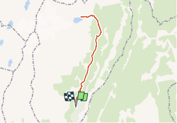

9,8 km | 14,3 km-effort


Gebruiker


Gratisgps-wandelapplicatie
 SityTrail
IGN / Geografische instituten
SityTrail World
De wereld gaat voor u open
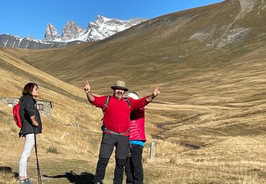
Tocht Stappen van 15 km beschikbaar op Auvergne-Rhône-Alpes, Isère, Clavans-en-Haut-Oisans. Deze tocht wordt voorgesteld door GuyVachet.
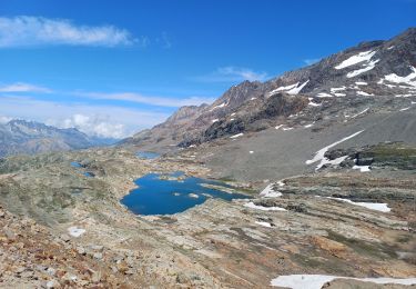
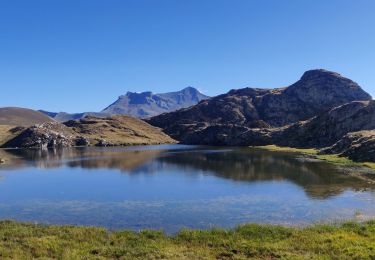
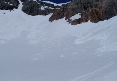
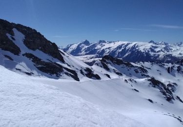
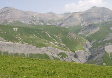
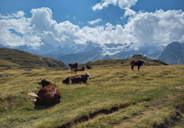
Montée au lac des Quirlies pour découvrir une très belle atmosphère de montagne au pied des pics Bayle et de l'Etendard. Le départ se fait à partir du hameau du Perron pour passer au Pont Ferrand qui est dominé par deux magnifiques cascades (photo). L'itinéraire remonte le cours du Ferrant qui est une tourbière (voir panneau explicatif) et monte tranquillement jusqu'à la passerelle. La montée devient alors soutenue pour traverser de petits névés à 2450m encore présents à la mi-Juillet avant d'arriver au lac 100m plus haut. Le retour se fait par le même itinéraire et permet de redécouvrir la mythique Meije.


Stappen
Sneeuwschoenen
Stappen
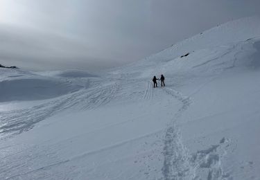
Ski randonnée
Ski randonnée

sport
Stappen
Stappen