


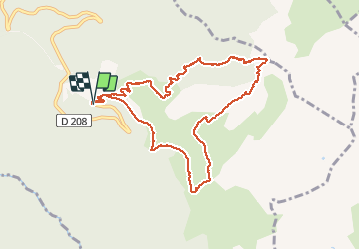

12 km | 26 km-effort

Gebruiker


Gratisgps-wandelapplicatie
 SityTrail
IGN / Geografische instituten
SityTrail World
De wereld gaat voor u open
Tocht Stappen van 10 km beschikbaar op Auvergne-Rhône-Alpes, Savoie, Arvillard. Deze tocht wordt voorgesteld door GuyVachet.
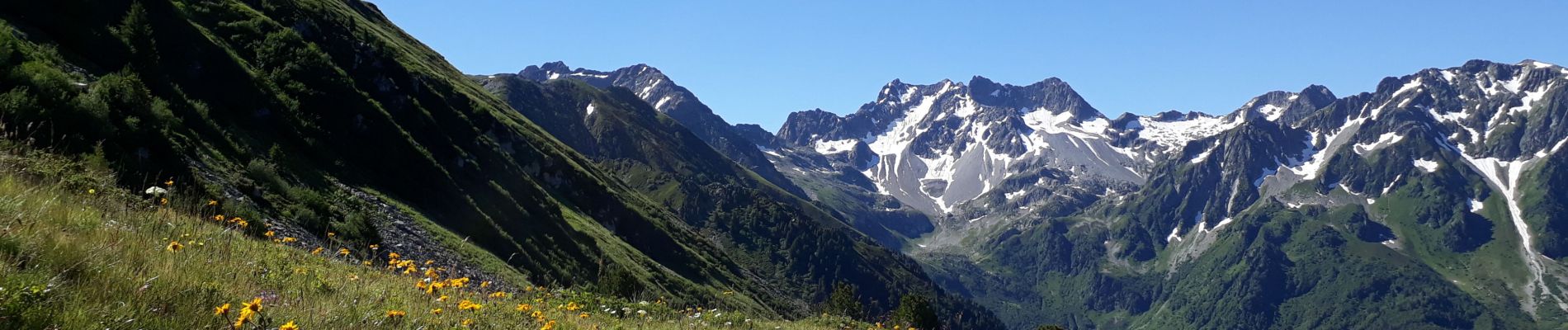
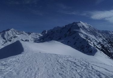
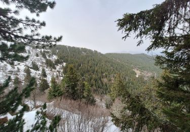
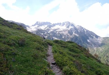
Boucle au pied des Grands Moulins par la Crête du Gargoton. Cet itinéraire démarre pour le Col de la Perrière qui domine le refuge du même nom (étape du GR 738 : Haute Traversée de Belledonne) puis continue par la Crête du Gargoton. Au passage, belle vue sur la voie classique du Mont-Blanc ainsi que sur les Bauges. Le parcours devient plus sauvage et bien moins marqué. L'itinéraire par Jasseplagne sur le versant Nord n'est plus accessible, du coup il faut redescendre aux sources puis au Chalet du Gargoton. De là, la remontée commence en forêt puis débouche sur l'alpage avant de basculer sur les prairies au-dessus des chalets du milieu où démarrent les parapentes et deltaplanes.


Stappen

Stappen
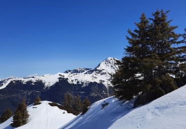
Ski randonnée

Mountainbike
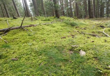
Stappen
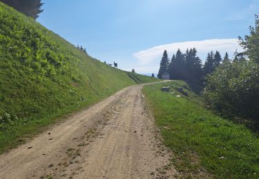
Stappen
Stappen
Stappen
Stappen