


8,6 km | 9,3 km-effort

Gebruiker GUIDE


Gratisgps-wandelapplicatie
 SityTrail
IGN / Geografische instituten
SityTrail World
De wereld gaat voor u open
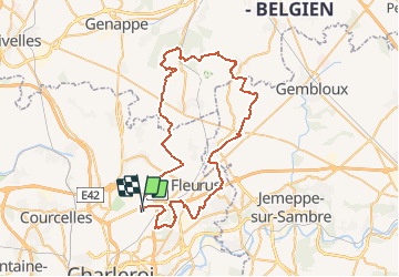
Tocht Mountainbike van 62 km beschikbaar op Wallonië, Henegouwen, Charleroi. Deze tocht wordt voorgesteld door pascalou73.
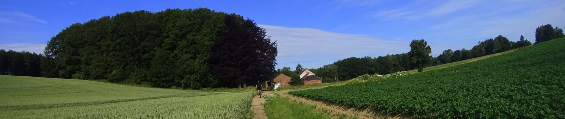
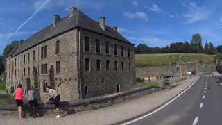
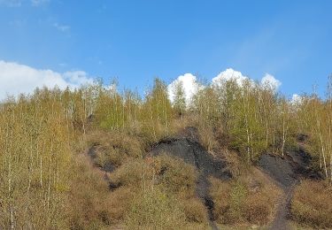
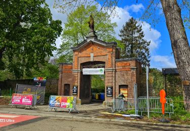
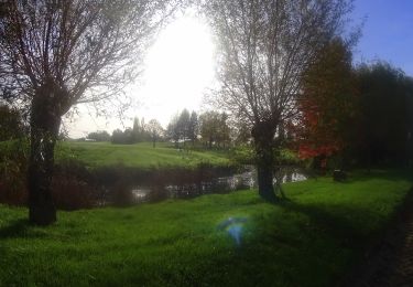
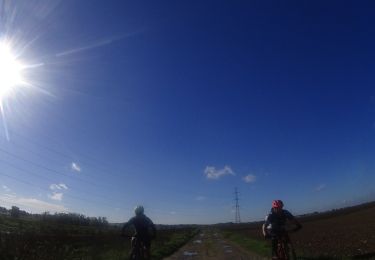
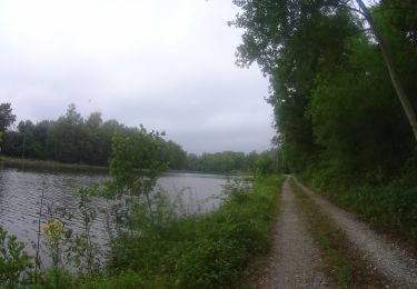
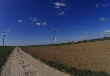
Voilà une randonnée VTT entre les 2 abbayes .un VTT entre l'abbaye de solement et l'abbaye de Villers la ville . Le début de la randonnée dans le bois de Soleimont et la suite entre les campagnes du BW et les belles petites ruelle et les bois de Villes la ville. Une belle randonnée sur la région


Stappen
Stappen
Stappen
Mountainbike
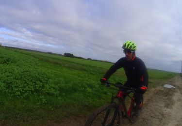
Mountainbike
Mountainbike
Mountainbike
Mountainbike
Mountainbike