


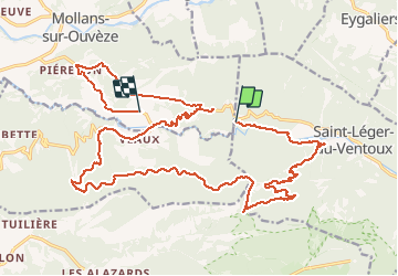

19,1 km | 30 km-effort

Gebruiker


Gratisgps-wandelapplicatie
 SityTrail
IGN / Geografische instituten
SityTrail World
De wereld gaat voor u open
Tocht Stappen van 28 km beschikbaar op Provence-Alpes-Côte d'Azur, Vaucluse, Saint-Léger-du-Ventoux. Deze tocht wordt voorgesteld door Atchoum26.
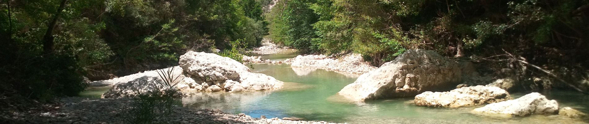
rando sympa le long des gorges mais très longue pour le retour dans le col de Comte. Reste tout de même un petit retour single sympa à la fin.


Stappen

Stappen
Te voet
Te voet
Te voet
Te voet
Te voet

Stappen

Stappen