


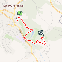

8,4 km | 10,6 km-effort


Gebruiker


Gratisgps-wandelapplicatie
 SityTrail
IGN / Geografische instituten
SityTrail World
De wereld gaat voor u open
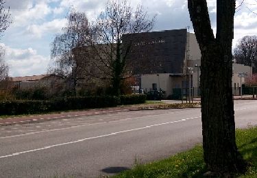
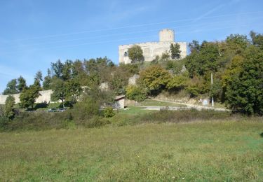
Tocht Andere activiteiten van 2,2 km beschikbaar op Auvergne-Rhône-Alpes, Isère, Saint-Quentin-Fallavier. Deze tocht wordt voorgesteld door amelard.
Difficulté: Classe 2
Durée: 60mn
Ville: St-Quentin-Fallavier
Départ: Commissariat
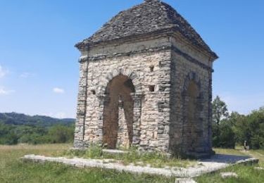
Arrivée: château

Stappen
Mountainbike
Stappen
Stappen
Fiets
Mountainbike
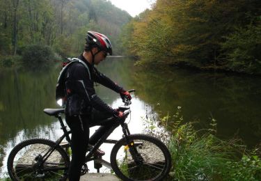
Mountainbike
Stappen
Stappen