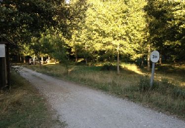
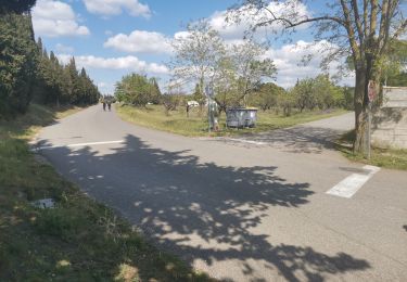
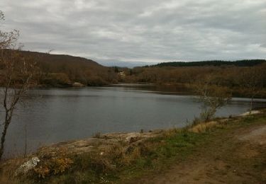
6,6 km | 8,7 km-effort
Moussou lens 200702
JohnTompa
Gebruiker
Lengte
6,9 km
Max. hoogte
205 m
Positief hoogteverschil
120 m
Km-Effort
8,5 km
Min. hoogte
127 m
Negatief hoogteverschil
120 m
Boucle
Ja
Datum van aanmaak :
2020-07-02 07:01:11.86
Laatste wijziging :
2020-07-02 22:04:02.169
2h42
Moeilijkheid : Gemakkelijk
Gratisgps-wandelapplicatie
Over ons
Tocht Stappen van 6,9 km beschikbaar op Occitanië, Aude, Moussoulens. Deze tocht wordt voorgesteld door JohnTompa.
Plaatsbepaling
Land:
France
Regio :
Occitanië
Departement/Provincie :
Aude
Gemeente :
Moussoulens
Locatie:
Unknown
Vertrek:(Dec)
Vertrek:(UTM)
437040 ; 4791702 (31T) N.
Opmerkingen
Wandeltochten in de omgeving
Boucle de la Combe a la Biterelle
Stappen
Gemakkelijk
(1)
Moussoulens,
Occitanië,
Aude,
France
7,1 km | 8,6 km-effort
1h 50min
Neen
Moussoulens La Plaine VM
Stappen
Medium
(2)
Moussoulens,
Occitanië,
Aude,
France
8,5 km | 10,5 km-effort
2h 22min
Ja
Moussoulens Saint Roch
Stappen
Gemakkelijk
Moussoulens,
Occitanië,
Aude,
France
25 km | 30 km-effort
5h 52min
Neen
montagne noire n1
Andere activiteiten
Heel gemakkelijk
Pezens,
Occitanië,
Aude,
France
70 km | 90 km-effort
Onbekend
Ja
le Cap de Pic
Stappen
Gemakkelijk
Saint-Martin-le-Vieil,
Occitanië,
Aude,
France
6,9 km | 9 km-effort
1h 53min
Ja
autour du péché St Jean
Stappen
Gemakkelijk
Ventenac-Cabardès,
Occitanië,
Aude,
France
6,8 km | 8,5 km-effort
2h 24min
Ja