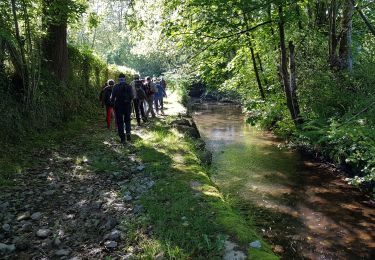
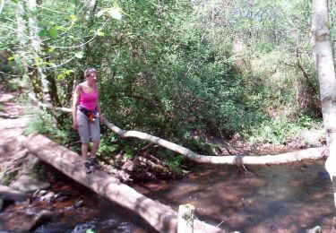
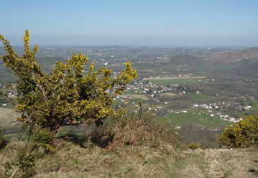
18,8 km | 27 km-effort
col Saint Ignace (64)
micheljullien
Gebruiker
Lengte
21 km
Max. hoogte
245 m
Positief hoogteverschil
566 m
Km-Effort
29 km
Min. hoogte
11 m
Negatief hoogteverschil
566 m
Boucle
Ja
Datum van aanmaak :
2020-06-30 08:51:00.717
Laatste wijziging :
2020-06-30 10:52:04.953
2h00
Moeilijkheid : Moeilijk
Gratisgps-wandelapplicatie
Over ons
Tocht Mountainbike van 21 km beschikbaar op Nieuw-Aquitanië, Pyrénées-Atlantiques, Sare. Deze tocht wordt voorgesteld door micheljullien.
Plaatsbepaling
Land:
France
Regio :
Nieuw-Aquitanië
Departement/Provincie :
Pyrénées-Atlantiques
Gemeente :
Sare
Locatie:
Unknown
Vertrek:(Dec)
Vertrek:(UTM)
613525 ; 4797813 (30T) N.
Opmerkingen
Wandeltochten in de omgeving
ascain Sare ascain
Stappen
Medium
(1)
Ascain,
Nieuw-Aquitanië,
Pyrénées-Atlantiques,
France
4h 39min
Ja
sare
Stappen
Heel gemakkelijk
(1)
Sare,
Nieuw-Aquitanië,
Pyrénées-Atlantiques,
France
6,6 km | 8,9 km-effort
2h 22min
Neen
Montagne de Ciboure - Trabenea
Stappen
Medium
(2)
Urrugne,
Nieuw-Aquitanië,
Pyrénées-Atlantiques,
France
8,6 km | 13,3 km-effort
2h 30min
Ja
Uhartea 22
Stappen
Zeer moeilijk
(1)
Saint-Pée-sur-Nivelle,
Nieuw-Aquitanië,
Pyrénées-Atlantiques,
France
22 km | 31 km-effort
7h 0min
Ja
Eric Saint Pé Les bergeries
Noords wandelen
Medium
(1)
Saint-Pée-sur-Nivelle,
Nieuw-Aquitanië,
Pyrénées-Atlantiques,
France
15,3 km | 20 km-effort
4h 4min
Neen
La rhune par la face EST
Stappen
Medium
(1)
Sare,
Nieuw-Aquitanië,
Pyrénées-Atlantiques,
France
13,8 km | 26 km-effort
5h 10min
Ja
la rhune depuis Sare (2)
Stappen
Heel gemakkelijk
(4)
Sare,
Nieuw-Aquitanië,
Pyrénées-Atlantiques,
France
13,9 km | 26 km-effort
4h 0min
Ja
rhune
Stappen
Medium
(1)
Urrugne,
Nieuw-Aquitanië,
Pyrénées-Atlantiques,
France
11,9 km | 24 km-effort
4h 43min
Ja
la rhune depuis olhette
Stappen
Medium
(2)
Ascain,
Nieuw-Aquitanië,
Pyrénées-Atlantiques,
France
9,8 km | 20 km-effort
Onbekend
Ja