


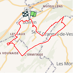

8,6 km | 11 km-effort


Gebruiker


Gratisgps-wandelapplicatie
 SityTrail
IGN / Geografische instituten
SityTrail World
De wereld gaat voor u open
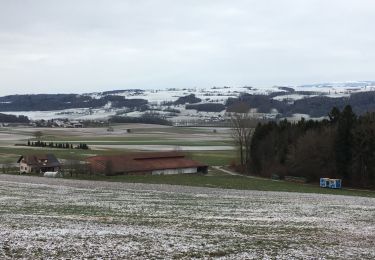
Tocht Stappen van 8,9 km beschikbaar op Fribourg/Freiburg, District de la Broye, Lully (FR). Deze tocht wordt voorgesteld door gpiller.
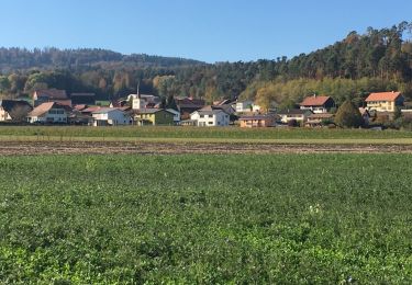
Trajet Bicubic - Villars-Bramard - Granges-Marnand - Ménières - Vesin - Montet - Bollion: 22km, 30min, Fr. 4.00. Parking vers le millieu du village sur la droite.
Café La Caravelle, route de Frasses 23.
1483 Montet (Broye)
Téléphone 026 665 12 98
Te voet

Stappen
Stappen
Stappen
Stappen
Fiets

Fiets
Fiets

Andere activiteiten