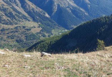
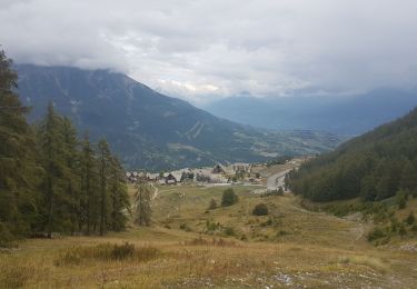
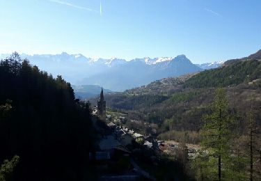
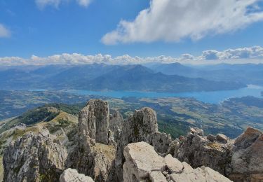
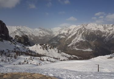
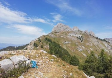
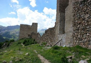
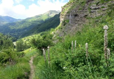
Tocht Stappen Réallon - la chapelle st Marcelin et le circuit d'interprétation depuis les Gourniers - Photo

la chapelle st Marcelin et le circuit d'interprétation depuis les Gourniers

 margotte
margotte

Gebruiker

© OpenStreetMap contributors
Lengte
Lengte
6,4 km
Max. hoogte
Max. hoogte
1736 m
Positief hoogteverschil
358 m
Km-Effort
Km-Effort  
11,1 km
Min. hoogte
Min. hoogte
1465 m
Negatief hoogteverschil
359 m
Boucle
Boucle
Ja
Datum van aanmaak :
2020-06-27 10:55:42.88
Laatste wijziging :
2020-06-27 13:50:34.09

(0 Bericht)

Stappen
Stappen
1h37
Moeilijkheid : Gemakkelijk

Scan deze QR-code om de tocht te openen in de SityTrail-applicatie

Gratisgps-wandelapplicatie

Logo SityTrail SityTrail

IGN / Geografische instituten

SityTrail uit de App Store downloaden SityTrail uit Google Play downloaden

Logo SityTrail SityTrail World

De wereld gaat voor u open

SityTrail uit de App Store downloaden SityTrail uit Google Play downloaden SityTrail op Huawei AppGallery downloaden

Over ons

Tocht Stappen van 6,4 km beschikbaar op Provence-Alpes-Côte d'Azur, Hautes-Alpes, Réallon. Deze tocht wordt voorgesteld door margotte.

Beschrijving

cadre magnifique pour une rando facile. La flore était magnifique( 27 juin).

Hoogteprofiel

Plaatsbepaling

Land:
France
Regio :
Provence-Alpes-Côte d'Azur
Departement/Provincie :
Hautes-Alpes
Gemeente :
Réallon
Locatie:
Unknown
Vertrek:(UTM)
288526 ; 4943601 (32T) N.

Wandeltochten in de omgeving

Tocht Stappen Réallon - AIguilles de Chabrieres au départ de la Station de ski Reallon - Photo
Stappen
Maca8284

Stappen

Zeer moeilijk
(1)
Réallon, Provence-Alpes-Côte d'Azur, Hautes-Alpes, France
14 km | 25 km-effort
6h 0min
Ja
Tocht Stappen Réallon - Aiguilles de Chabrière - Photo
Stappen
GUIDE
David25400

Stappen

Gemakkelijk
(1)
Réallon, Provence-Alpes-Côte d'Azur, Hautes-Alpes, France
12,2 km | 23 km-effort
5h 35min
Ja
Tocht Stappen Réallon - le fort de Réallon - Photo
Stappen
gildascb

Stappen

Heel gemakkelijk
(1)
Réallon, Provence-Alpes-Côte d'Azur, Hautes-Alpes, France
8 km | 11,8 km-effort
2h 11min
Ja
Tocht Stappen Réallon - SityTrail - 2556786 - aiguilles-de-chabriere - Photo
Stappen
GUIDE
amiral13

Stappen

Moeilijk
Réallon, Provence-Alpes-Côte d'Azur, Hautes-Alpes, France
11,8 km | 23 km-effort
6h 0min
Ja
Tocht Sneeuwschoenen Réallon - Raquettes Réallon  - Photo
Sneeuwschoenen
GUIDE
David25400

Sneeuwschoenen

Gemakkelijk
Réallon, Provence-Alpes-Côte d'Azur, Hautes-Alpes, France
6,5 km | 14,3 km-effort
3h 27min
Ja
Tocht Stappen Réallon - Reallon-Serre du Mouton 7km - Photo
Stappen
GUIDE
thonyc

Stappen

Gemakkelijk
Réallon, Provence-Alpes-Côte d'Azur, Hautes-Alpes, France
7,3 km | 13 km-effort
2h 53min
Ja
Tocht Stappen Chorges - Les Parias et la Pousterle par le col de Chorges - Photo
Stappen
GUIDE
David25400

Stappen

Medium
Chorges, Provence-Alpes-Côte d'Azur, Hautes-Alpes, France
15,4 km | 32 km-effort
6h 18min
Ja
Tocht Stappen Réallon - Embrunais - Réallon Le Fort - 3.2km 200m 1h10 - 2018 06 28 - public - Photo
Stappen
GUIDE
Orcal37

Stappen

Heel gemakkelijk
Réallon, Provence-Alpes-Côte d'Azur, Hautes-Alpes, France
3,1 km | 5,7 km-effort
1h 20min
Ja
Tocht Stappen Réallon - Embrunais - Réallon Les Gourniers Chapelle St-Marcellin - 5.6km 300m 2h00 - 2018 06 28 - public - Photo
Stappen
GUIDE
Orcal37

Stappen

Medium
Réallon, Provence-Alpes-Côte d'Azur, Hautes-Alpes, France
5,5 km | 9,4 km-effort
2h 35min
Ja


Sluiten
Mijn abonnementen