


3,3 km | 4,6 km-effort


Gebruiker


Gratisgps-wandelapplicatie
 SityTrail
IGN / Geografische instituten
SityTrail World
De wereld gaat voor u open
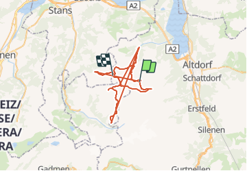
Tocht Andere activiteiten van 65 km beschikbaar op Uri, Onbekend, Isenthal. Deze tocht wordt voorgesteld door rohrh.
Te voet
Te voet

Te voet

Te voet
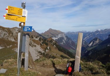
Te voet