


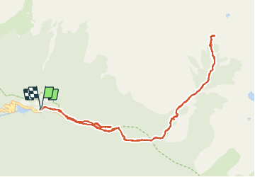

13,3 km | 20 km-effort

Gebruiker


Gratisgps-wandelapplicatie
 SityTrail
IGN / Geografische instituten
SityTrail World
De wereld gaat voor u open
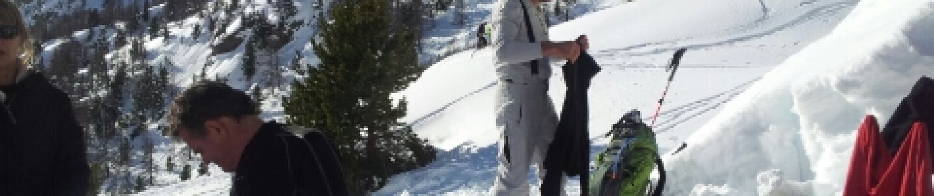
Tocht Sneeuwschoenen van 15 km beschikbaar op Provence-Alpes-Côte d'Azur, Alpes-Maritimes, Saint-Martin-Vésubie. Deze tocht wordt voorgesteld door PEBREJOSIANE.
Départ du début des pistes de ski de fond du Boréon
Rando en forêt au départ, puis dans un superbe environnement minéral.
Enlever 2h ( temps de pauses)


Stappen

Stappen

Stappen

Stappen

Te voet

Te voet

Te voet

Te voet

Stappen