


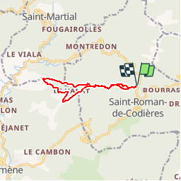

13,3 km | 24 km-effort


Gebruiker


Gratisgps-wandelapplicatie
 SityTrail
IGN / Geografische instituten
SityTrail World
De wereld gaat voor u open
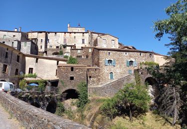
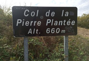
Tocht Stappen van 9,8 km beschikbaar op Occitanië, Gard, Saint-Roman-de-Codières. Deze tocht wordt voorgesteld door zoe.vienne.
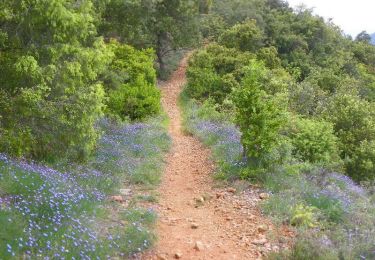
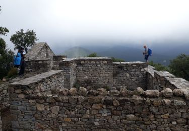
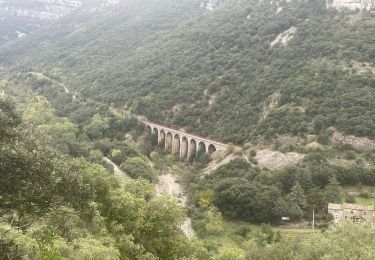
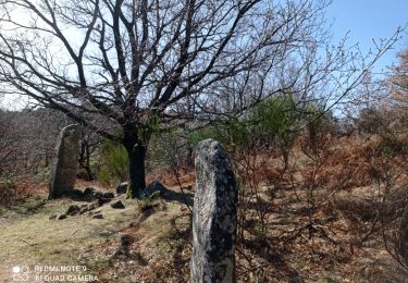
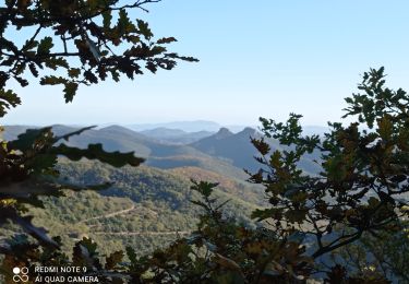
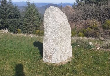
Belle boucle pour randonneurs avertis. Quelques passages peu évidents une boussole est de rigueur ainsi qu'une carte à jour...


Stappen
Stappen

Stappen
Stappen
Te voet
Stappen
Stappen
Stappen
Stappen