


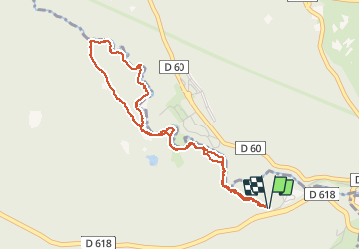


24 km | 43 km-effort

Gebruiker


Gratisgps-wandelapplicatie
 SityTrail
IGN / Geografische instituten
SityTrail World
De wereld gaat voor u open
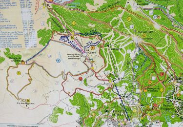
Tocht Stappen van 4,7 km beschikbaar op Occitanië, Pyrénées-Orientales, Bolquère. Deze tocht wordt voorgesteld door MarieFrancoise.
Départ du parking à côté de la déchetterie de Bolquère sur la route allant à Font Romeu
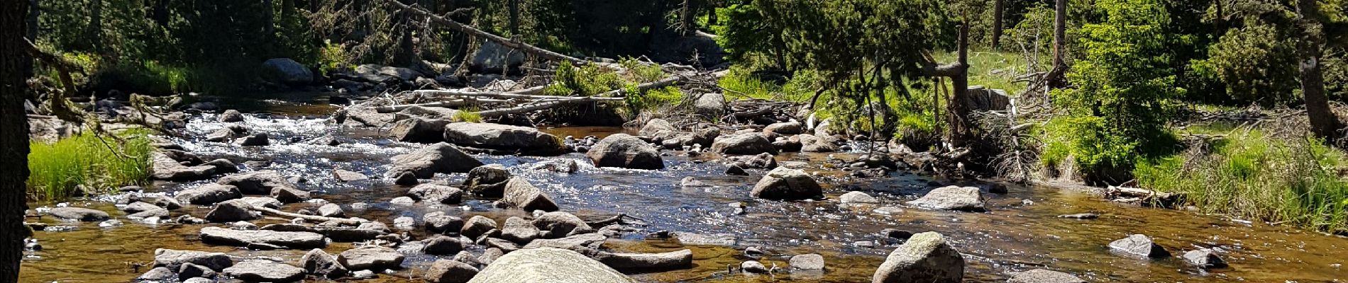
Très jolie balade en forêt le long de la rivière de la Têt .Très facile pour toute la famille.


Stappen

Stappen

Stappen

Stappen
Stappen
Stappen

Stappen
Stappen
Stappen