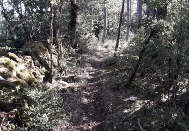
9,1 km | 14,4 km-effort
Chemin de St Guilhem - La Tieule - Saint Georges de Lévéjac
Kargil
Gebruiker GUIDE
Lengte
21 km
Max. hoogte
1002 m
Positief hoogteverschil
527 m
Km-Effort
28 km
Min. hoogte
849 m
Negatief hoogteverschil
527 m
Boucle
Neen
Datum van aanmaak :
2020-06-21 15:43:05.797
Laatste wijziging :
2020-06-23 06:33:32.922
5h56
Moeilijkheid : Zeer moeilijk
Gratisgps-wandelapplicatie
Over ons
Tocht Stappen van 21 km beschikbaar op Occitanië, Lozère, La Tieule. Deze tocht wordt voorgesteld door Kargil.
Plaatsbepaling
Land:
France
Regio :
Occitanië
Departement/Provincie :
Lozère
Gemeente :
La Tieule
Locatie:
Unknown
Vertrek:(Dec)
Vertrek:(UTM)
512387 ; 4914545 (31T) N.
Opmerkingen
Wandeltochten in de omgeving
Vers l'antenne de La Canourgue
Stappen
Gemakkelijk
Saint-Saturnin,
Occitanië,
Lozère,
France
6,9 km | 8,8 km-effort
1h 42min
Ja
Ta dimanche
sport
Heel gemakkelijk
La Canourgue,
Occitanië,
Lozère,
France
108 km | 142 km-effort
Onbekend
Neen
La Tieule - Etoile par Le Maynard
Paardrijden
Moeilijk
La Tieule,
Occitanië,
Lozère,
France
27 km | 37 km-effort
4h 53min
Ja
Etoile La Tieule par Rouge Parets
Paardrijden
Moeilijk
La Tieule,
Occitanië,
Lozère,
France
26 km | 36 km-effort
4h 45min
Ja
Etoile de Coustaraços ( La Tieule par Meynard et Pertuzades)
Paardrijden
Zeer moeilijk
La Tieule,
Occitanië,
Lozère,
France
29 km | 42 km-effort
5h 33min
Ja
Grande Boucle Tieule/Canourgue/Champerboux/StEnimie/MasRouch/Tieule
Paardrijden
Zeer moeilijk
La Tieule,
Occitanië,
Lozère,
France
91 km | 123 km-effort
15h 4min
Ja
Boucle La Canourgue/ La Tieule / Mas Rouch
Paardrijden
Heel gemakkelijk
La Tieule,
Occitanië,
Lozère,
France
66 km | 91 km-effort
Onbekend
Ja
Campagnac
Stappen
Heel gemakkelijk
Campagnac,
Occitanië,
Aveyron,
France
14 km | 17,9 km-effort
5h 52min
Ja