


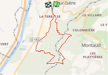

17 km | 28 km-effort


Gebruiker


Gratisgps-wandelapplicatie
 SityTrail
IGN / Geografische instituten
SityTrail World
De wereld gaat voor u open
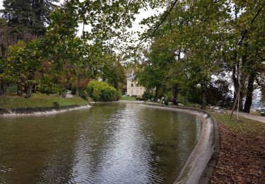
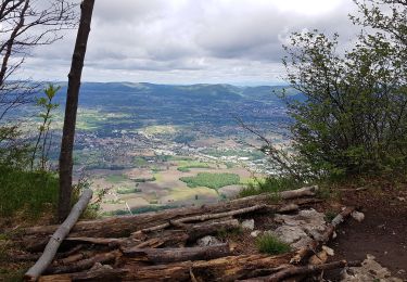
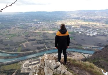
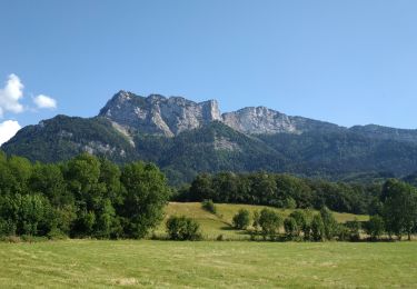
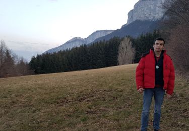
Tocht Te voet van 9,5 km beschikbaar op Auvergne-Rhône-Alpes, Isère, Saint-Quentin-sur-Isère. Deze tocht wordt voorgesteld door Eric BESSOUD-CAVILLOT.
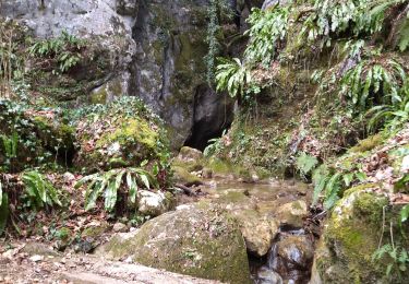
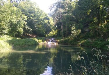
Une randonnée difficile nécessitant d'être bien chaussés. Une deuxième partie balisée en orange qu'il ne faut pas perdre au risque de s'égarer dans des coins pas simples...
Stappen
Stappen
Stappen
Stappen
Stappen
Stappen
Stappen
Stappen
Stappen