


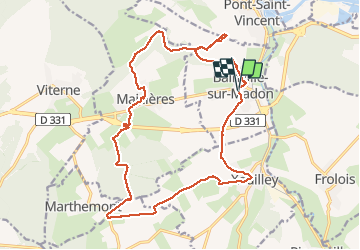


18,3 km | 23 km-effort

Gebruiker


Gratisgps-wandelapplicatie
 SityTrail
IGN / Geografische instituten
SityTrail World
De wereld gaat voor u open
Tocht Stappen van 19,8 km beschikbaar op Grand Est, Meurthe-et-Moselle, Bainville-sur-Madon. Deze tocht wordt voorgesteld door jean-marie.parachini.
entre Bainville sur Madon et Maizieres


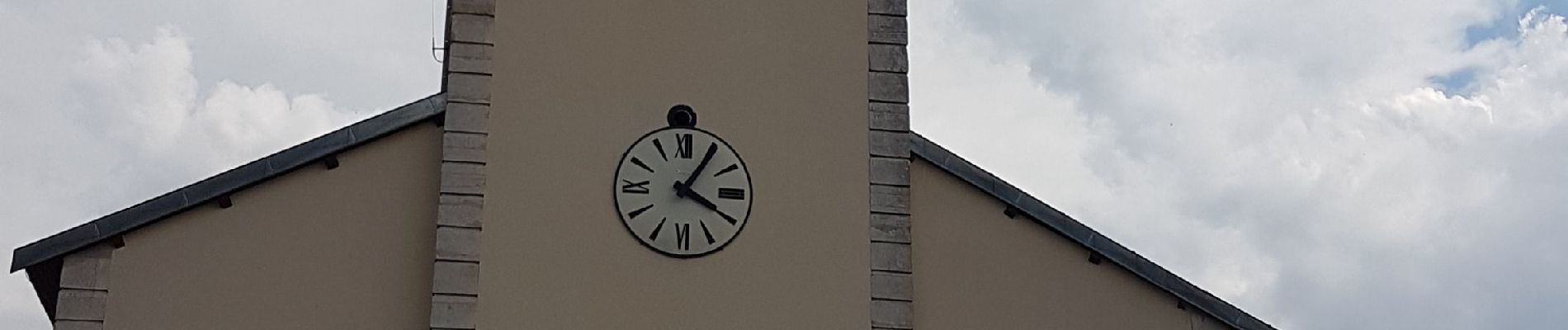
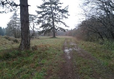
23 fotos in totaal. Klik op een foto om ze allemaal in de galerij weer te geven.

Stappen


sport
Stappen

Stappen

Stappen

Noords wandelen

Noords wandelen
Stappen
Stappen