


14,5 km | 26 km-effort

Gebruiker


Gratisgps-wandelapplicatie
 SityTrail
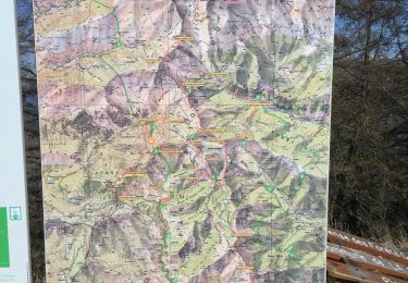
IGN / Geografische instituten
SityTrail World
De wereld gaat voor u open
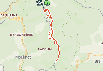
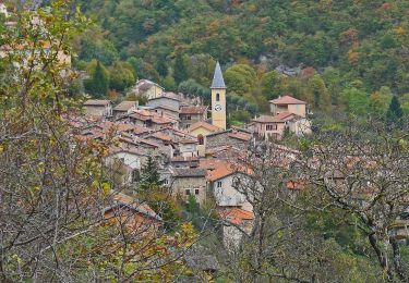
Tocht Stappen van 15,7 km beschikbaar op Provence-Alpes-Côte d'Azur, Alpes-Maritimes, Moulinet. Deze tocht wordt voorgesteld door aris.
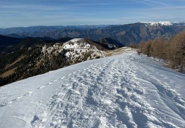
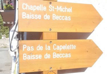
Parcours en crête à partir des cabanes vieilles sur le circuit de l'Authion. Circuit très agréable, en partie en forêt. Retour par la piste qui contourne les sommets.
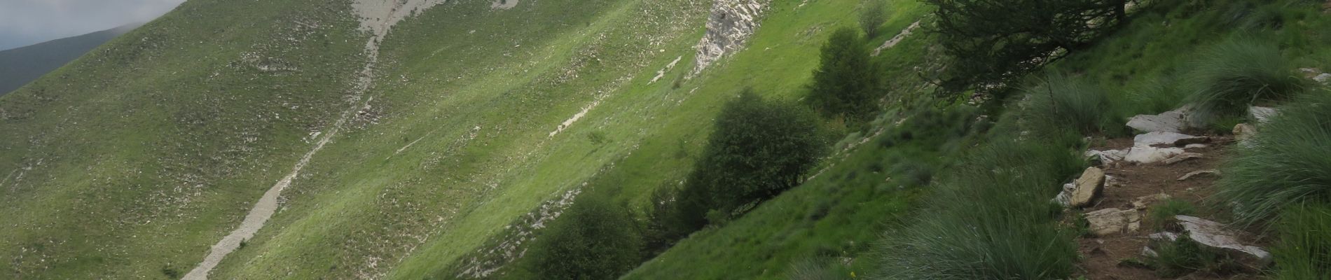
Potentielle vue panoramique sur les sommets alentours, mais nous avons eu du brouillard.
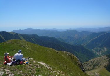
La montée à la cime de Ventabren se fait hors sentier dans l'alpage. Attention à la descente, bien suivre la trace (barres de rochers).

Te voet

Te voet

Te voet
Te voet
Sneeuwschoenen
Stappen
Te voet

Stappen
Stappen