


11 km | 13 km-effort

Gebruiker


Gratisgps-wandelapplicatie
 SityTrail
IGN / Geografische instituten
SityTrail World
De wereld gaat voor u open
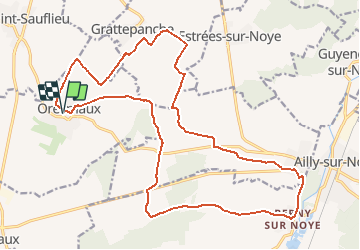
Tocht Stappen van 22 km beschikbaar op Hauts-de-France, Somme, Oresmaux. Deze tocht wordt voorgesteld door fitz2014.
À partir d'Oresmaux, découverte du larris de Grattepanche en passant par le Fond de l'Absous. Le retour vers Oresmaux permet de découvrir la Vallée Coquillette


Stappen
Te voet
Stappen

Mountainbike
Mountainbike
Stappen
Stappen
Stappen


sport
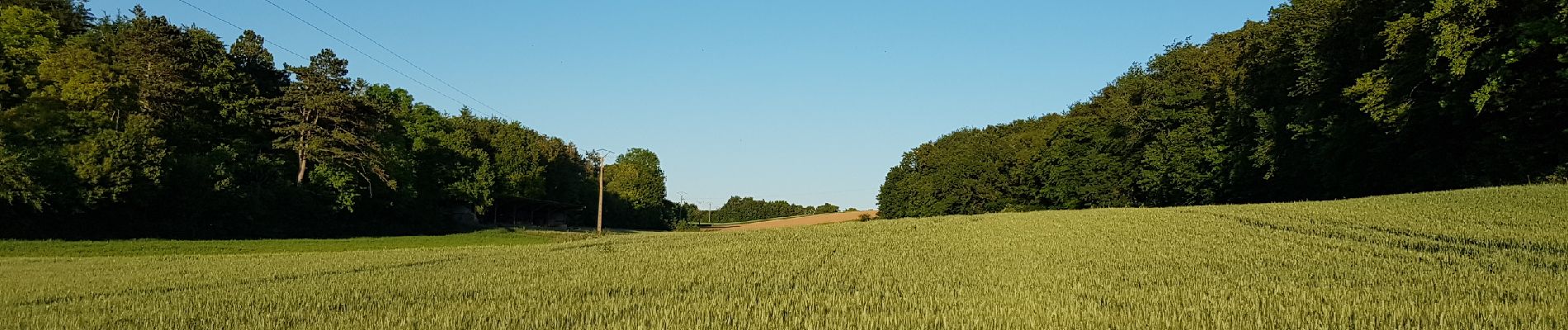
paysages variés