


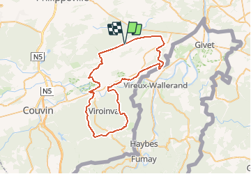

14,8 km | 21 km-effort


Gebruiker


Gratisgps-wandelapplicatie
 SityTrail
IGN / Geografische instituten
SityTrail World
De wereld gaat voor u open
Tocht Elektrische fiets van 55 km beschikbaar op Wallonië, Namen, Doische. Deze tocht wordt voorgesteld door papadoc.
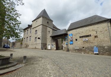
Magnifique boucle à la découverte de la Calestienne, entre Fagne et Ardenne, très variée tant au niveau des routes empruntées (RAVeL - bois - campagne - forêts) que des bijoux à traverser (par ex. Vierves-sur-Viroin en Belgique et Hierges en France).

Stappen
Stappen

Stappen
Te voet
Te voet
Te voet
Te voet
Te voet
Te voet
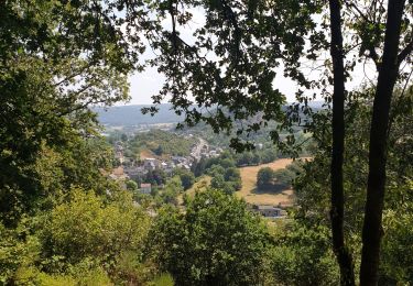
Très belle randonnée ! Batteries bien chargées !