


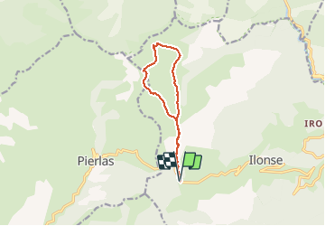

16,5 km | 31 km-effort


Gebruiker


Gratisgps-wandelapplicatie
 SityTrail
IGN / Geografische instituten
SityTrail World
De wereld gaat voor u open
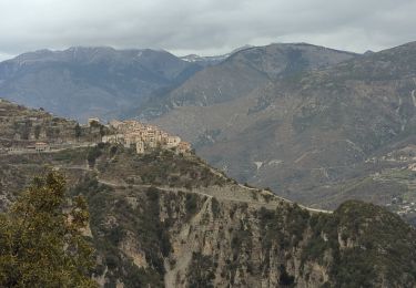
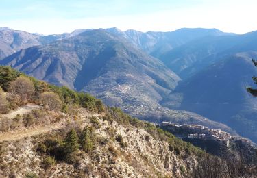
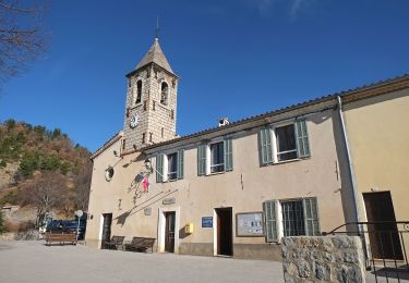
Tocht Stappen van 10,8 km beschikbaar op Provence-Alpes-Côte d'Azur, Alpes-Maritimes, Ilonse. Deze tocht wordt voorgesteld door GrouGary.
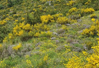
Circuit sans difficultés, même hors sentier. Trolles et Gentianes côté Nord.
Très beau sur crête mamelonnée


Te voet

Te voet
Stappen
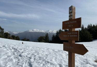
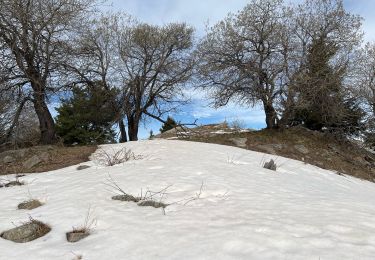
Sneeuwschoenen
Stappen
Stappen

Stappen
Te voet
Stappen