

Montagne d'Areng

dawed311
Gebruiker

Lengte
10,6 km

Max. hoogte
2063 m

Positief hoogteverschil
862 m

Km-Effort
22 km

Min. hoogte
1277 m

Negatief hoogteverschil
853 m
Boucle
Ja
Datum van aanmaak :
2020-05-21 06:50:58.506
Laatste wijziging :
2021-05-30 15:45:04.284
4h04
Moeilijkheid : Medium

Gratisgps-wandelapplicatie
Over ons
Tocht Stappen van 10,6 km beschikbaar op Occitanië, Hautes-Pyrénées, Ferrère. Deze tocht wordt voorgesteld door dawed311.
Beschrijving
Belle rando et peu fréquentée vers un beau belvédère.
Le retour se fait sur une sente, en balcon, qui s'efface mais les asphodèles montrent le chemin. On se retrouve au pied de la jolie muraille de la montagne d'Areng avant de rejoindre la voiture
Plaatsbepaling
Land:
France
Regio :
Occitanië
Departement/Provincie :
Hautes-Pyrénées
Gemeente :
Ferrère
Locatie:
Unknown
Vertrek:(Dec)
Vertrek:(UTM)
292817 ; 4756122 (31T) N.
Opmerkingen
Wandeltochten in de omgeving
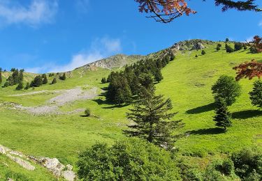
montagne d'Areng depuis la piste forestière après Férrères


Stappen
Moeilijk
Ferrère,
Occitanië,
Hautes-Pyrénées,
France

11,7 km | 24 km-effort
7h 44min
Ja
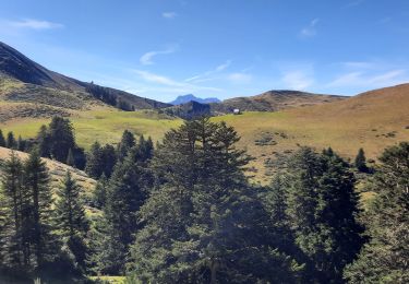
Mountarrouy en boucle depuis la station de Nistos


Stappen
Medium
Sarrancolin,
Occitanië,
Hautes-Pyrénées,
France

10,8 km | 19,1 km-effort
5h 48min
Ja
nistos Nestea fait G4


Stappen
Heel gemakkelijk
Sarrancolin,
Occitanië,
Hautes-Pyrénées,
France

7,4 km | 10,2 km-effort
4h 21min
Ja
Le Cournudère en boucle depuis Bordes de Saube


Stappen
Medium
Ferrère,
Occitanië,
Hautes-Pyrénées,
France

17,2 km | 34 km-effort
6h 35min
Ja
Lac de Bareilles


Stappen
Medium
Bareilles,
Occitanië,
Hautes-Pyrénées,
France

13,4 km | 24 km-effort
7h 15min
Ja
Cap Nestes


Stappen
Medium
Sarrancolin,
Occitanië,
Hautes-Pyrénées,
France

4 km | 7,7 km-effort
2h 10min
Ja

Cimetière Anglo-Canadien - Pic de Douly et Mont Aspet


Stappen
Moeilijk
Nistos,
Occitanië,
Hautes-Pyrénées,
France

8,8 km | 14,9 km-effort
3h 23min
Ja
soum de templa


Stappen
Medium
Ferrère,
Occitanië,
Hautes-Pyrénées,
France

16,7 km | 32 km-effort
5h 21min
Ja

cap Nesté depuis la Barousse


Stappen
Medium
Ferrère,
Occitanië,
Hautes-Pyrénées,
France

9,2 km | 19,3 km-effort
6h 46min
Ja


 SityTrail


