


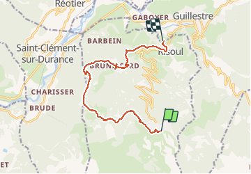


9,7 km | 15,9 km-effort

Gebruiker


Gratisgps-wandelapplicatie
 SityTrail
IGN / Geografische instituten
SityTrail World
De wereld gaat voor u open
Tocht Stappen van 12,3 km beschikbaar op Provence-Alpes-Côte d'Azur, Hautes-Alpes, Risoul. Deze tocht wordt voorgesteld door Sorriaux.
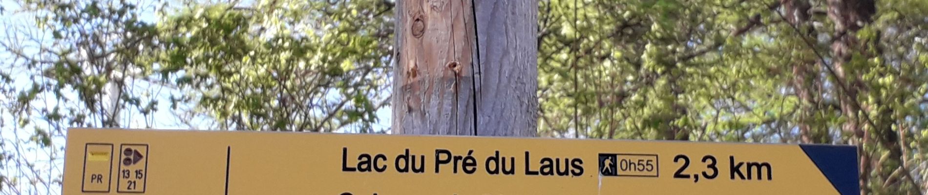
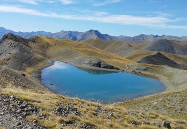
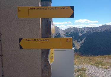
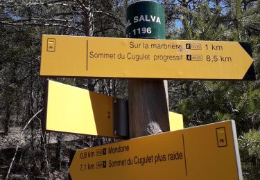
Lac du pre du laus, crête de Martinet, bois de Barbein, torrent de Salvet. Moyen dans le sens descendant, difficile dans le sens de la montée


24 fotos in totaal. Klik op een foto om ze allemaal in de galerij weer te geven.

Stappen

Stappen
Stappen

Stappen
Stappen
Stappen
Stappen
Stappen
Stappen