


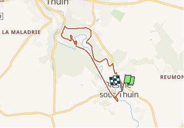

9,9 km | 12 km-effort

Gebruiker GUIDE


Gratisgps-wandelapplicatie
 SityTrail
IGN / Geografische instituten
SityTrail World
De wereld gaat voor u open
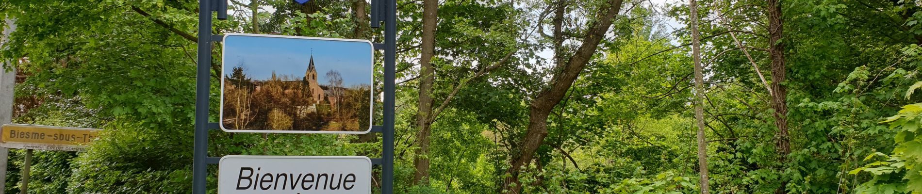
Tocht Te voet van 6 km beschikbaar op Wallonië, Henegouwen, Thuin. Deze tocht wordt voorgesteld door Desrumaux.
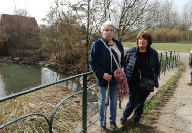
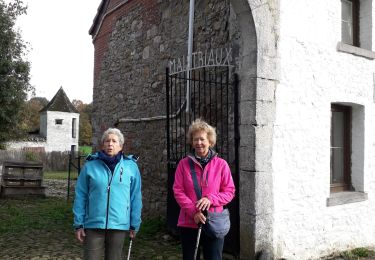
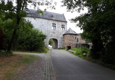
Jolie promenade bucolique au fil de la Biesmelle affluent de la Sambre, la balade sinue dans le fond de vallée et se dirige vers le Bois du Grand Bon-Dieu, c'est par le Ravel que la boucle se referme.


Stappen

Stappen

Stappen

Stappen

Stappen
Stappen
Stappen
Stappen
Stappen