


8,6 km | 9,3 km-effort

Gebruiker GUIDE


Gratisgps-wandelapplicatie
 SityTrail
IGN / Geografische instituten
SityTrail World
De wereld gaat voor u open
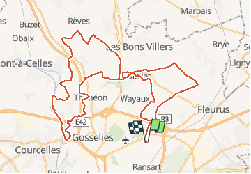
Tocht Mountainbike van 50 km beschikbaar op Wallonië, Henegouwen, Charleroi. Deze tocht wordt voorgesteld door pascalou73.
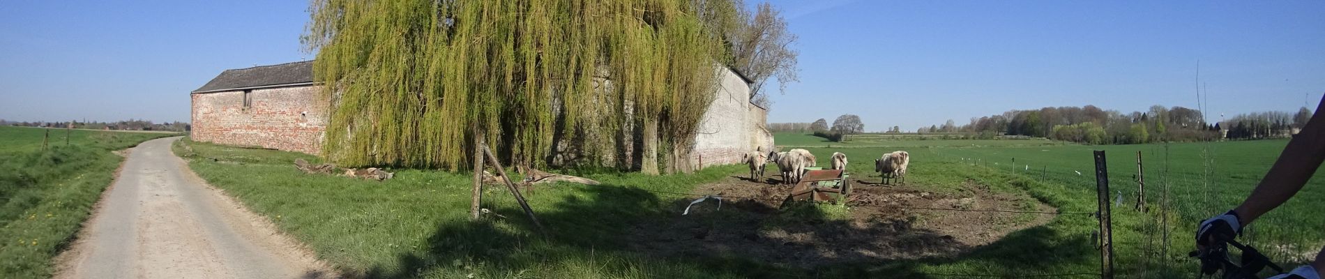
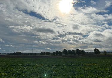
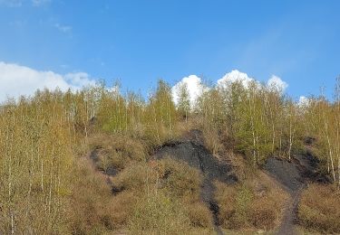
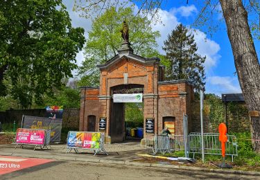
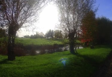
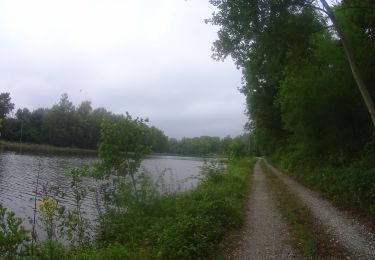
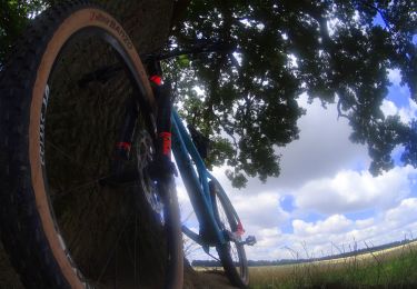
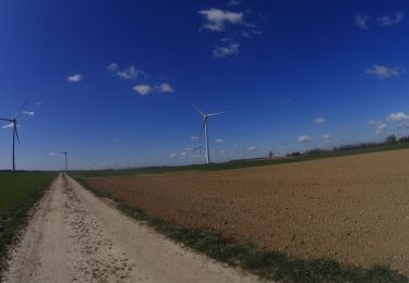
Une belle randonnée sur la région .avec ce VTT vous pourrez bien profiter des Voilà un VTT au départ de Ransart une randonnée entre les champêtres et avec un passage sur la Canale et le terril et les bois .une randonnée pour découvrire la région. très beaux sentis .


Stappen
Stappen
Stappen
Mountainbike
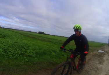
Mountainbike
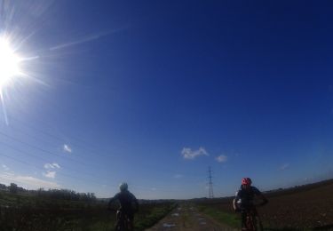
Mountainbike
Mountainbike
Mountainbike
Mountainbike