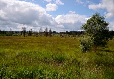
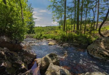
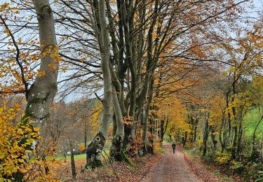
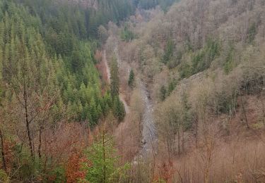
16,9 km | 23 km-effort
DDO-SUPER
Scalex
Gebruiker
Lengte
36 km
Max. hoogte
664 m
Positief hoogteverschil
705 m
Km-Effort
45 km
Min. hoogte
353 m
Negatief hoogteverschil
706 m
Boucle
Ja
Datum van aanmaak :
2020-04-29 13:03:09.678
Laatste wijziging :
2020-04-30 07:36:52.404
2h28
Moeilijkheid : Moeilijk
Gratisgps-wandelapplicatie
Over ons
Tocht Mountainbike van 36 km beschikbaar op Wallonië, Luik, Waimes. Deze tocht wordt voorgesteld door Scalex.
Beschrijving
Walk G'Doumont - Bevercé - Mont - Botrange - Sourbrodt - Champagne - Walk
Mélange de Single et de chemin - parfois très technique
Plaatsbepaling
Land:
Belgium
Regio :
Wallonië
Departement/Provincie :
Luik
Gemeente :
Waimes
Locatie:
Waimes
Vertrek:(Dec)
Vertrek:(UTM)
294382 ; 5592280 (32U) N.
Opmerkingen
Wandeltochten in de omgeving
Sourbrodt - Circuit Natura 2000, des sites qui valent le détour - Lg11
Stappen
Gemakkelijk
(8)
Waimes,
Wallonië,
Luik,
Belgium
7,3 km | 8,3 km-effort
1h 50min
Ja
Le trôs Maret
Stappen
Medium
(14)
Malmedy,
Wallonië,
Luik,
Belgium
7,3 km | 10,1 km-effort
2h 11min
Ja
Balade Peak Myrtille avec extension - restaurée
Stappen
Medium
(40)
Waimes,
Wallonië,
Luik,
Belgium
4,9 km | 6 km-effort
1h 22min
Ja
Balade Peak Myrtille - restaurée
Stappen
Gemakkelijk
(18)
Waimes,
Wallonië,
Luik,
Belgium
2,7 km | 3,3 km-effort
45min
Ja
2023-11-10_22h16m17_t119964214_sur les versants de la warchenne w10.gpx.xml
Stappen
Medium
(2)
Waimes,
Wallonië,
Luik,
Belgium
6,8 km | 8,6 km-effort
1h 57min
Ja
Wandering Peak Beer IPA (new)
Stappen
Medium
(33)
Waimes,
Wallonië,
Luik,
Belgium
9,7 km | 12 km-effort
2h 43min
Ja
2021-10-22_19h44m15_1102
Stappen
Medium
(2)
Malmedy,
Wallonië,
Luik,
Belgium
15,2 km | 21 km-effort
4h 41min
Ja