


6,3 km | 13,6 km-effort


Gebruiker


Gratisgps-wandelapplicatie
 SityTrail
IGN / Geografische instituten
SityTrail World
De wereld gaat voor u open
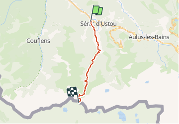
Tocht Te voet van 13,1 km beschikbaar op Occitanië, Ariège, Ustou. Deze tocht wordt voorgesteld door countryjack.
Trajet emprunté par mon père dans la nuit le 2 Décembre 1942 pour passer en Espagne


Stappen

Stappen
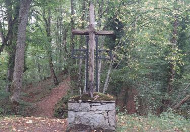
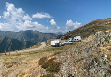
Stappen
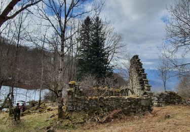
Stappen
Noords wandelen
Stappen
Mountainbike