


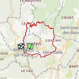

14,4 km | 24 km-effort


Gebruiker


Gratisgps-wandelapplicatie
 SityTrail
IGN / Geografische instituten
SityTrail World
De wereld gaat voor u open
Tocht Stappen van 14 km beschikbaar op Auvergne-Rhône-Alpes, Ardèche, Vallées-d'Antraigues-Asperjoc. Deze tocht wordt voorgesteld door marquet.
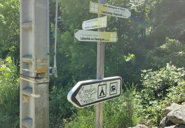
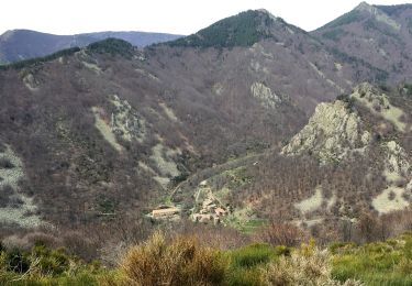
col de genestelle, conchis,bise, le mas.
eventuellement mettre une voiture au Mas pour eviter 3km de route sans grand interet.
Stappen
Stappen

Stappen

Stappen
Stappen
Stappen

Stappen
Stappen
Stappen