


8,6 km | 9,3 km-effort

Gebruiker GUIDE


Gratisgps-wandelapplicatie
 SityTrail
IGN / Geografische instituten
SityTrail World
De wereld gaat voor u open
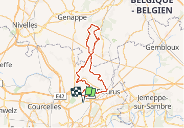
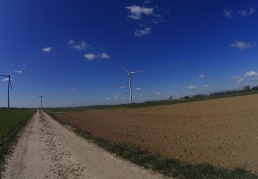
Tocht Mountainbike van 48 km beschikbaar op Wallonië, Henegouwen, Charleroi. Deze tocht wordt voorgesteld door pascalou73.
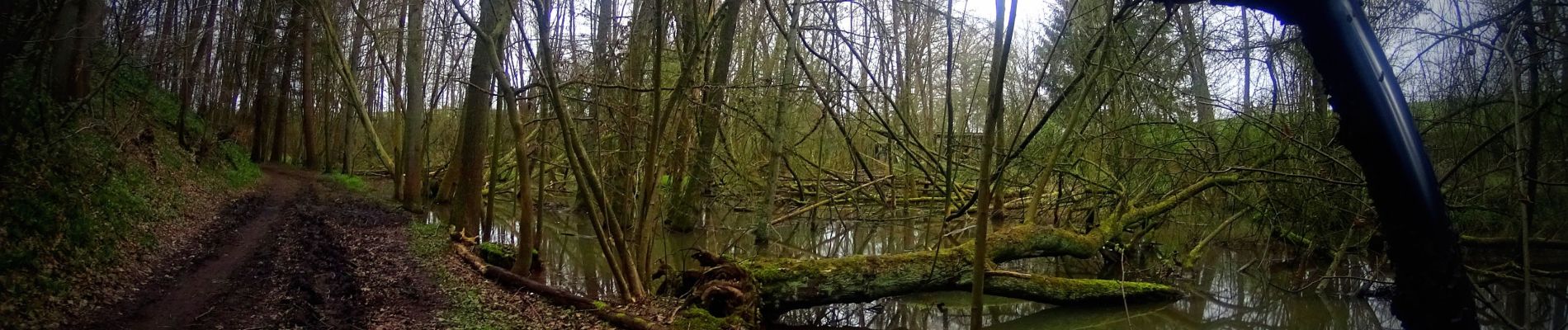
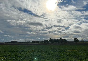
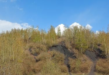
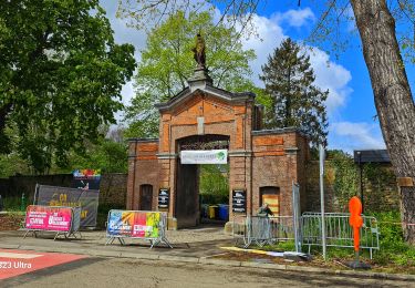
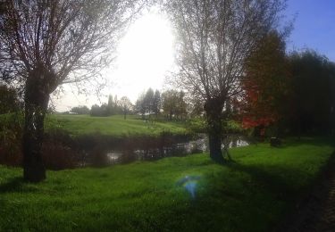
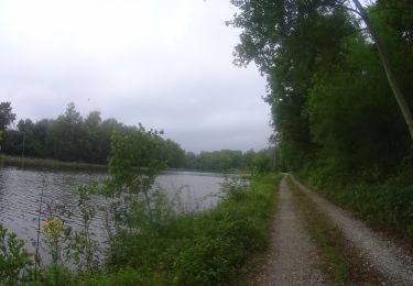
Voilà un nouveau tracé sur Ransart qui va vous faire découvri la région et les beaux sentiers sur le brabant Wallon et le Hainaut. Une randonnée entre les champs et les belles ruelles de la région et de belle partie boisée .À découvrir


Stappen
Stappen
Stappen
Mountainbike
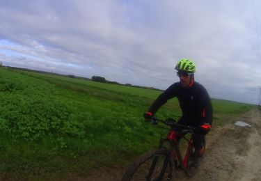
Mountainbike
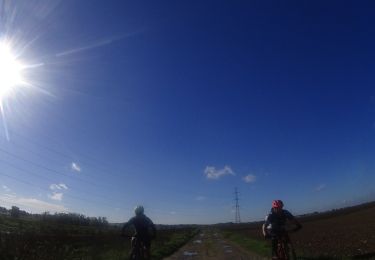
Mountainbike
Mountainbike
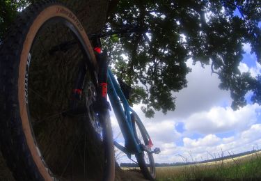
Mountainbike
Mountainbike