


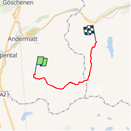

7,6 km | 10,5 km-effort


Gebruiker


Gratisgps-wandelapplicatie
 SityTrail
IGN / Geografische instituten
SityTrail World
De wereld gaat voor u open
Tocht Andere activiteiten van 11,9 km beschikbaar op Uri, Korporation Ursern, Andermatt. Deze tocht wordt voorgesteld door sterrettaz.
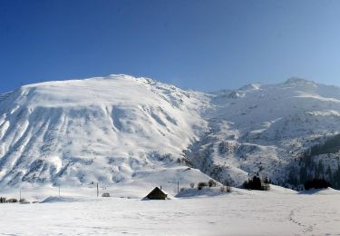
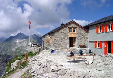
A Andermatt, prendre la cabine du Gemstock, du sommet, descendre en direction de la Vermigelshuette, puis remonter par le Maighels Pass.
Te voet
Te voet
Te voet
Te voet
Te voet
Te voet
Te voet
Te voet

Te voet