


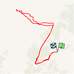

4,5 km | 7,4 km-effort


Gebruiker


Gratisgps-wandelapplicatie
 SityTrail
IGN / Geografische instituten
SityTrail World
De wereld gaat voor u open
Tocht Andere activiteiten van 10,9 km beschikbaar op Valais/Wallis, Conthey, Conthey. Deze tocht wordt voorgesteld door sterrettaz.
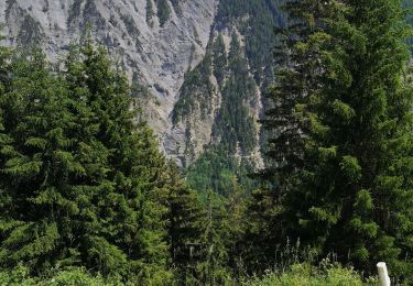
Col à l''ouest du Mont Gond,
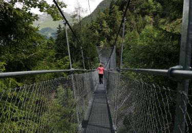
Superbe point de vue, montée avec Ben G-C.
Superbe descente
PS Le même jour que Jy dans la face N du bec d''Orzival!
Te voet

Stappen

Te voet
Stappen
Noords wandelen

Andere activiteiten
Noords wandelen

Stappen
Stappen