


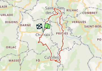

17,4 km | 27 km-effort

Gebruiker


Gratisgps-wandelapplicatie
 SityTrail
IGN / Geografische instituten
SityTrail World
De wereld gaat voor u open
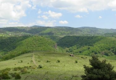
Tocht Stappen van 17,8 km beschikbaar op Auvergne-Rhône-Alpes, Haute-Loire, Charraix. Deze tocht wordt voorgesteld door FLORENSAC.
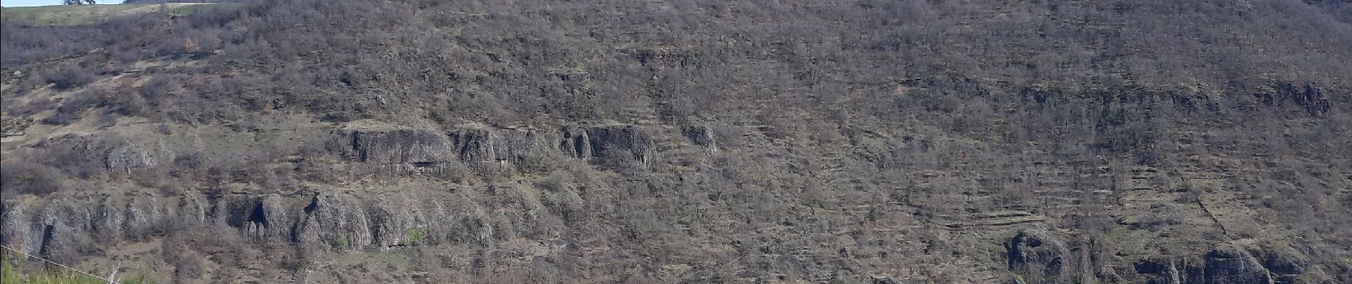
Randonnée assez sportive avec un bon denivelé
quelques passages abrupt
quelques montées un peu rudes
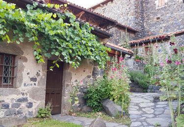
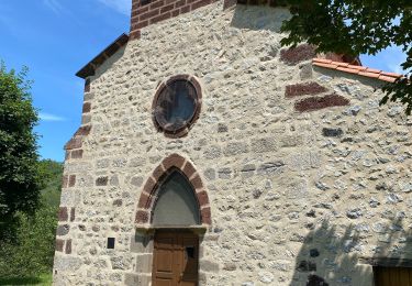
de jolies choses à voir en cours de route
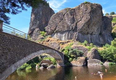
prévoir des sandales pour traverser le gué
nous avons franchi la rivière en amont du gué qui nous parraissait trop glissant


Stappen
Elektrische fiets

Fiets
Stappen
Stappen
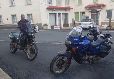
Motor

Stappen
Stappen
Stappen