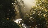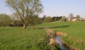

Promenade de l'Orne, Blanmont

Chastre1450
Gebruiker

Lengte
7,1 km

Max. hoogte
152 m

Positief hoogteverschil
94 m

Km-Effort
8,3 km

Min. hoogte
97 m

Negatief hoogteverschil
92 m
Boucle
Ja
Datum van aanmaak :
2014-12-10 00:00:00.0
Laatste wijziging :
2014-12-10 00:00:00.0
1h49
Moeilijkheid : Heel gemakkelijk

Gratisgps-wandelapplicatie
Over ons
Tocht Stappen van 7,1 km beschikbaar op Wallonië, Waals-Brabant, Chastre. Deze tocht wordt voorgesteld door Chastre1450.
Beschrijving
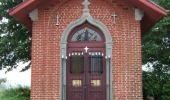
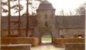
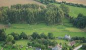
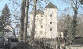
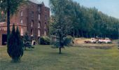
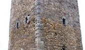
Promenade à la rencontre de moulins anciens et de la tour médiévale d'Alvaux, le long du ry du Pré à la Chambre et de l'Orne.
POI's
Plaatsbepaling
Land:
Belgium
Regio :
Wallonië
Departement/Provincie :
Waals-Brabant
Gemeente :
Chastre
Locatie:
Chastre-Villeroux-Blanmont
Vertrek:(Dec)
Vertrek:(UTM)
616002 ; 5609095 (31U) N.
Opmerkingen
Wandeltochten in de omgeving
GG-Bw-02_Céroux-Mousty - Villers-la-Ville


Stappen
Zeer moeilijk
(4)
Ottignies-Louvain-la-Neuve,
Wallonië,
Waals-Brabant,
Belgium

20 km | 26 km-effort
5h 37min
Neen
Balade à Mont-Saint-Guibert


Stappen
Heel gemakkelijk
(2)
Mont-Saint-Guibert,
Wallonië,
Waals-Brabant,
Belgium

8,4 km | 10,1 km-effort
2h 12min
Ja
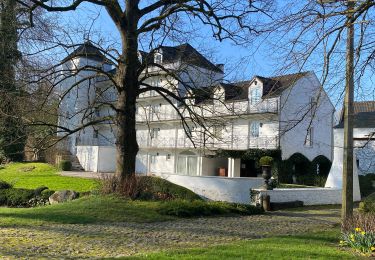
#240223a - Blanmont, Orne, Alvaux, Nil Pierreux***


Stappen
Medium
(1)
Chastre,
Wallonië,
Waals-Brabant,
Belgium

6,6 km | 7,8 km-effort
1h 47min
Ja
#231016 - Corroy-Le-Grand et le Val d'Ocquière*** (inversé court)


Stappen
Medium
(2)
Chaumont-Gistoux,
Wallonië,
Waals-Brabant,
Belgium

6,2 km | 7,2 km-effort
1h 38min
Ja
#230728 - Gentinnes Kongolo


Stappen
Gemakkelijk
(1)
Chastre,
Wallonië,
Waals-Brabant,
Belgium

5 km | 5,6 km-effort
1h 16min
Ja
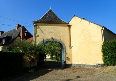
#170829 - Nil Pierreux, carrières de quartzite, Moulin d'Al Poudre et Tour de...


Te voet
Heel gemakkelijk
(2)
Walhain,
Wallonië,
Waals-Brabant,
Belgium

8,1 km | 9,9 km-effort
2h 0min
Ja
Promenade de Villeroux


Stappen
Medium
(1)
Chastre,
Wallonië,
Waals-Brabant,
Belgium

7,6 km | 8,5 km-effort
1h 53min
Ja
Balade de la fontaine Saint Géry à Chastre


Stappen
Medium
(1)
Chastre,
Wallonië,
Waals-Brabant,
Belgium

7,6 km | 8,6 km-effort
1h 53min
Ja
L'Orne_Chateau de Bierbais


Stappen
Gemakkelijk
(2)
Mont-Saint-Guibert,
Wallonië,
Waals-Brabant,
Belgium

9,4 km | 11,5 km-effort
2h 28min
Ja


 SityTrail


