


65 km | 93 km-effort

Gebruiker


Gratisgps-wandelapplicatie
 SityTrail
IGN / Geografische instituten
SityTrail World
De wereld gaat voor u open
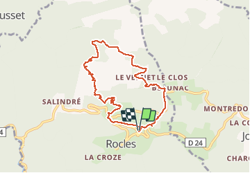
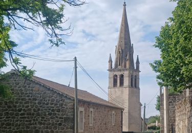
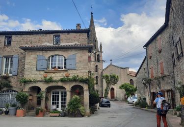
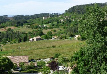
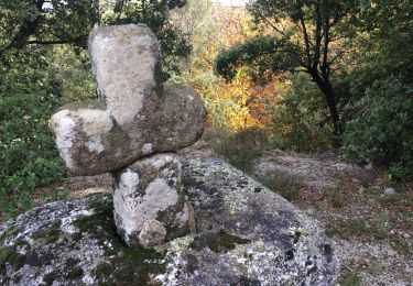
Tocht Stappen van 8,3 km beschikbaar op Auvergne-Rhône-Alpes, Ardèche, Rocles. Deze tocht wordt voorgesteld door ganinette.
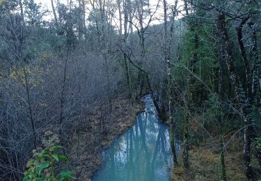
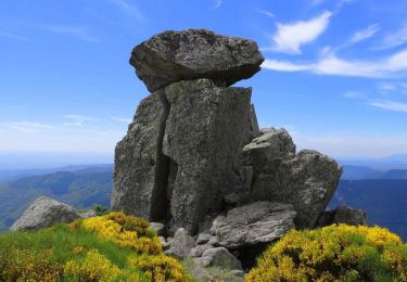
Très belle rando avec un peu de grimpette sans plus et à la porté de toute la famille.
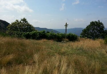
Très beau paysage.


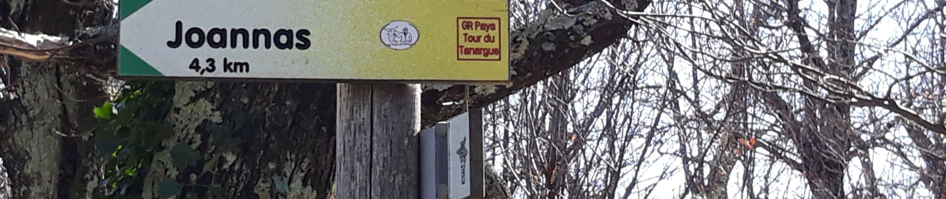
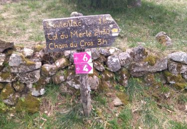
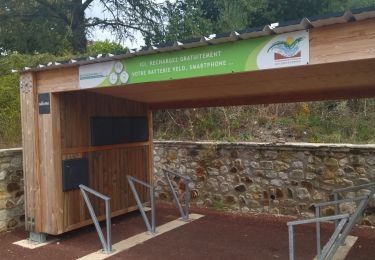
24 fotos in totaal. Klik op een foto om ze allemaal in de galerij weer te geven.
Mountainbike
Stappen
Stappen
Wegfiets
Stappen
Stappen
Stappen
Stappen
Stappen